National Geographic
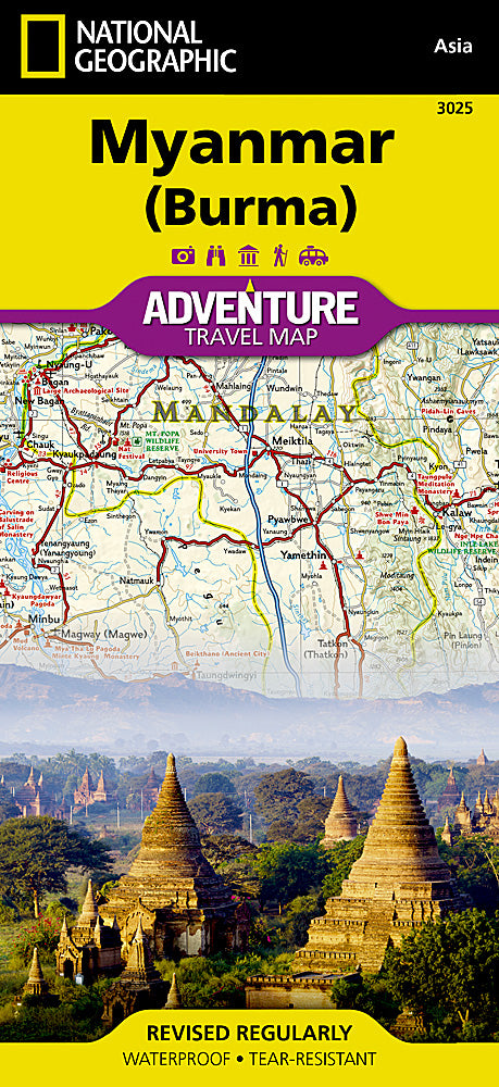
National Geographic Adventure Map Myanmar (Burma) AD00003025
National Geographic Adventure Map Myanmar (Burma) AD00003025
Couldn't load pickup availability
National Geographic Adventure Map Myanmar (Burma) AD00003025
• Waterproof • Tear-Resistant • Travel Map
National Geographic's Myanmar (Burma) Adventure Map is designed to meet the needs of adventure travelers with its detailed and accurate information. This map includes the locations of cities and towns with a user-friendly index, a clearly marked road network complete with distances and designations for roads/highways, plus secondary routes for those seeking to explore off the beaten path. Adventure Maps differ from a traditional road map because of the specialty content they include. Each map contains hundreds of diverse and unique recreational, ecological, cultural, and historic destinations — outside of the major tourist hubs. National Geographic Adventure Maps are the perfect companion to a guidebook.
Myanmar is a country with a varied landscape. From the highest peak, Hkakabo Razi, in the Hengduan Shan mountains on the border with China to the lowlands at the mouth of the Ayeyarwady River, Myanmar has almost every imaginable environment. Myanmar is bordered on the east by China and Thailand and on the west by India and a small section of Bangladesh. This crossroads of cultures has made this newly opened country a true adventure destination.
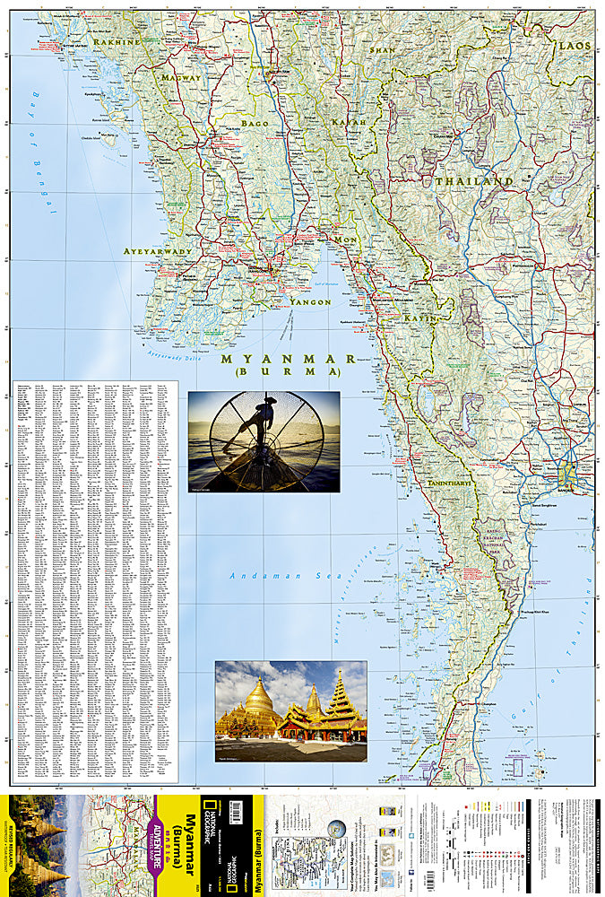
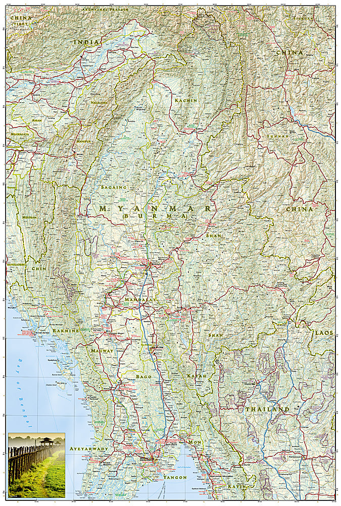
The map covers the long history of Myanmar in great detail. Over the centuries the capital of Burma has moved from Bagan in 1044 to Mandalay and finally to its current location in Yangon (Rangoon). The north side of the map includes the most mountainous area of Myanmar on the doorstep of the Himalayas. It also includes the old royal capital of Mandalay. The south side of the map includes the current capital of Yangon as well as the long border with Thailand and the hundreds of islands of the Myeik Archipelago.
Every Adventure Map is printed on durable synthetic paper, making them waterproof, tear-resistant and tough — capable of withstanding the rigors of international travel. Each is two-sided and can be folded to a packable size of (4.25" x 9.25"); unfolded size is (26" x 38").
Features:
- Waterproof and tear-resistant
- Accurate topography/terrain with a clearly labeled road network
- Hundreds of points of interest, including the locations parks and nature reserves, protected lands, historical and cultural attractions
- Thousands of place names including towns and natural features; detailed place names index
- Important travel networks including airports, lighthouses, ferry routes and rail lines
- Updated regularly to ensure accuracy
TIP: For lower prices on our maps, check out our promotions (click the link above the picture). Here is the info: Purchase 2 - 3 maps and get 10% off, 4 or more will get you 15% off! This promo includes ALL of our maps. For example, purchase 2 Trails Illustrated maps, 1 Destination map, and 1 Adventure map (total of 4) and get 15% off!! Just put everything in your shopping cart and you will see the savings!
Retail packaging, shipped in a poly envelope. Shipping weight 4 oz.
If you have any questions or concerns, please contact us before or after the sale - we want you to be a happy customer!
Thanks for looking!