National Geographic
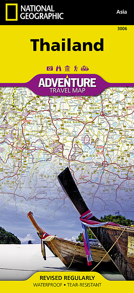
National Geographic Adventure Map Thailand AD00003006
National Geographic Adventure Map Thailand AD00003006
Couldn't load pickup availability
National Geographic Adventure Map Thailand AD00003006
• Waterproof • Tear-Resistant • Travel Map
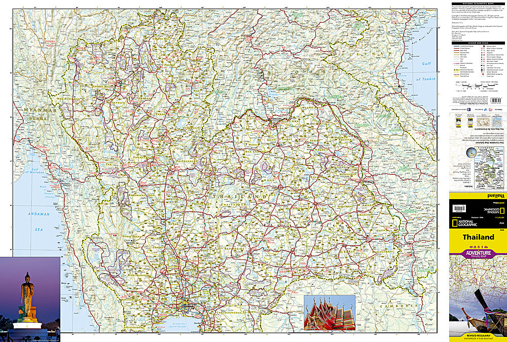
National Geographic's Thailand Adventure Map is designed to meet the needs of adventure travelers with its detailed, accurate information and user-friendly design. Hundreds of points of interest that highlight the diverse, unique, and exotic destinations within the country such as national parks and reserves, World Heritage sites, archeological sites, and monuments are noted. The map includes the locations of cities and towns with a user-friendly index, plus a clearly marked road network complete with designations for highways, roads, tracks and trails for those seeking to explore more remote regions.
The front side of the print map shows the northern half of the country and extends south to the capital city of Bangkok. Border crossings are noted, as are many sites of interest in the neighboring countries of Laos, Myanmar (Burma), and Cambodia. The reverse side features the southern provinces located on the Malay Peninsula.
A constitutional monarchy formerly known as Siam, Thailand is the only Southeast Asian nation to have not been colonized by European powers. Known for its lush island resorts, Buddhist temples, and the vibrant capital of Bangkok, the country offers much more for adventurers willing to explore its diverse ecological regions. Swim with whale sharks, rock climb limestone cliffs, ride an elephant through the jungle, visit the hill-tribes of the north, or just enjoy the hospitality and cuisine of a country known as the "land of smiles."
Every Adventure Map is printed on durable synthetic paper, making them waterproof, tear-resistant and tough — capable of withstanding the rigors of international travel. Each is two-sided and can be folded to a packable size of (4.25" x 9.25"); unfolded size is (26" x 38").
Features:
- Waterproof and tear-resistant
- Accurate topography/terrain with a clearly labeled road network
- Hundreds of points of interest, including the locations parks and nature reserves, protected lands, historical and cultural attractions
- Thousands of place names including towns and natural features; detailed place names index
- Important travel networks including airports, lighthouses, ferry routes and rail lines
- Updated regularly to ensure accuracy
TIP: For lower prices on our maps, check out our promotions (click the link above the picture). Here is the info: Purchase 2 - 3 maps and get 10% off, 4 or more will get you 15% off! This promo includes ALL of our maps. For example, purchase 2 Trails Illustrated maps, 1 Destination map, and 1 Adventure map (total of 4) and get 15% off!! Just put everything in your shopping cart and you will see the savings!
Retail packaging, shipped in a poly envelope. Shipping weight 4 oz.
If you have any questions or concerns, please contact us before or after the sale - we want you to be a happy customer!
Thanks for looking!