National Geographic
National Geographic Benchmark Maps New Mexico NM Recreation Map BE0BENNMRM
National Geographic Benchmark Maps New Mexico NM Recreation Map BE0BENNMRM
Couldn't load pickup availability
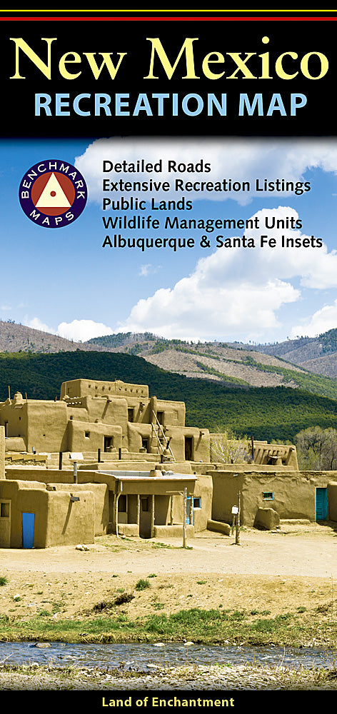
BRAND NEW National Geographic Benchmark Maps New Mexico NM Recreation / Public Land / Hunting / Road Map.
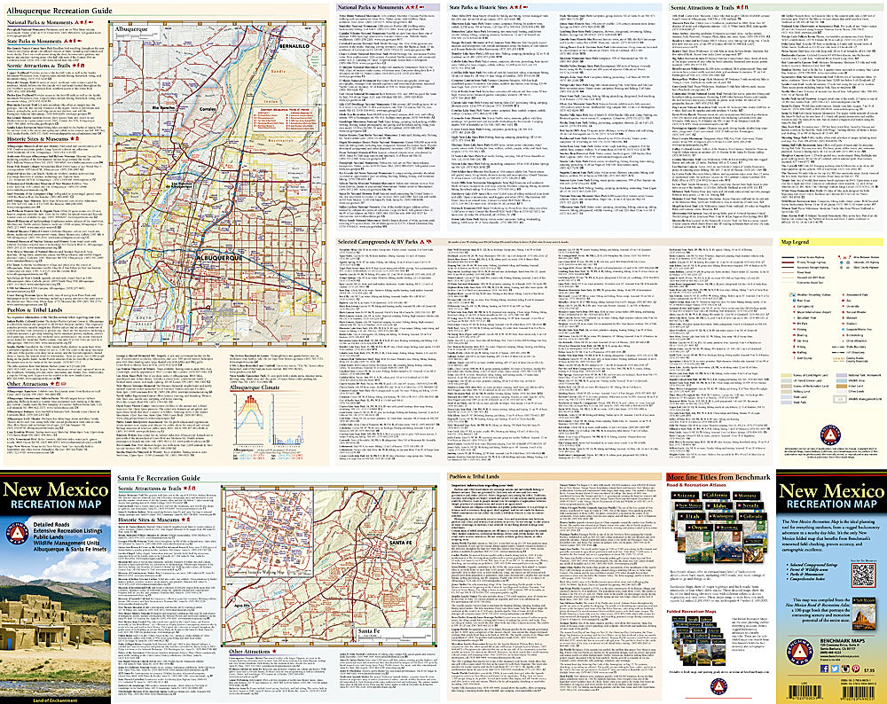
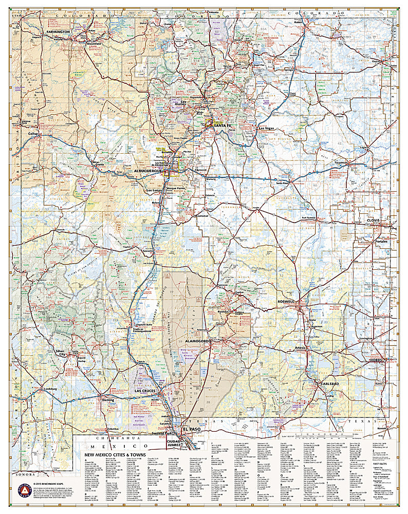
The New Mexico Recreation Map is a folded map version of the Recreation Guide pages within Benchmark's New Mexico Road & Recreation Atlas. One side provides a full state map that features Public & Tribal Lands, extensive highway detail, point-to-point mileages, recreation attractions, campgrounds, parks and wildlife areas, fishing access points, hunting units (GMU), and an index of cities and towns with populations and grid references. The reverse side features recreation guides for Albuquerque and Santa Fe, and includes statewide categorized POI listings with helpful descriptions, current contact information, and map grid references.
Features:
- Extensive highway detail, point-to-point mileages, roadside attractions, campgrounds
- Parks & wildlife areas, boating & fishing access points, public lands & hunting areas
- Categorized recreation listings, current contact info, map grid references
- Scale: 1:829,187
- Folded Size: 4" x 9"
- Flat Size: 27" x 34"
- Weight: Approx. 2 oz
TIP: For lower prices on our maps, check out our promotions (click the link above the picture). Here is the info: Purchase 2 - 3 maps and get 10% off, 4 or more will get you 15% off! This promo includes ALL of our maps. For example, purchase 2 Trails Illustrated maps, 1 Destination map, and 1 Adventure map (total of 4) and get 15% off!! Just put everything in your shopping cart and you will see the savings!
Requirements: None.
You will receive: 1 National Geographic Benchmark Map.
OEM packaging, shipped in a poly envelope. Shipping weight 3 oz.
If you have any questions or concerns, please contact us before or after the sale - we want you to be a happy customer!
Thanks for looking!
