National Geographic Maps
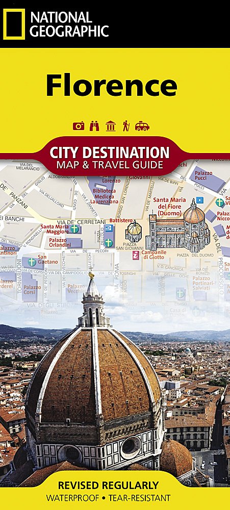
National Geographic City Destination Map Florence Italy DC01020317
National Geographic City Destination Map Florence Italy DC01020317
Couldn't load pickup availability
National Geographic City Destination Map Florence Italy DC01020317
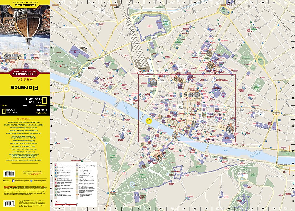
Let National Geographic's City Destination map of Florence guide you as you explore this historic city that was the birthplace of the Renaissance and is still considered a world center for fashion, art and culture. Featured on the map's front side is a clearly marked road network complete with designations for through routes, main and secondary roads, one way streets and pedestrian zones. Along with a multi-language legend, hundreds of points of interest are pinpointed, including notable buildings, places of worship, hotels, theaters, parking areas, rail stations, parks, police stations and hospitals. Many of the city's top attractions are displayed with 3D images, including Santa Maria del Fiore, Palazzo Vecchio and Ponte Vecchio.
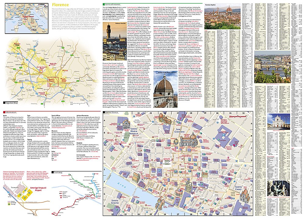
The reverse side has a regional map, showing the city's location on the heart of Tuscany. An insert map of Centro Storico provides extra detail of the remarkable city center. A user-friendly index of streets, hotels and points of interest, will ensure you find your destination quickly. A travel guide gives background information about the city, its most popular destinations and an overview of the public transit system, including a diagram of Amerigo Vespucci airport. With such an abundance of specialized content that is not available in traditional maps, this destination map is the perfect complement to National Geographic's Florence and Tuscany Traveler Guide.
Every Destination Map is printed on durable synthetic paper, making them waterproof, tear-resistant and tough capable of withstanding the rigors of any kind of travel.
Features:
- Double-sided map containing detailed maps and useful travel information
- Maps include a comprehensive road network, local infrastructure, and abundant natural, historical, and cultural places
- Beautiful photographs and valuable travel information aids travelers with pre-trip planning and on-the-ground adventures
- Printed on a durable, waterproof, tear-resistant material
- Lightweight, packable, and folded to fit easily in your pocket
- 4 1/4 x 9 1/4" folded; 26 x 28" opened
- Scale = 1:400,000
TIP:For lower prices on our maps, check out our promotions (click the link above the picture). Here is the info: Purchase 2 - 3 maps and get 10% off, 4 or more willget you 15% off! This promo includes ALL of our maps. For example, purchase 2 Trails Illustrated maps, 1 Destination map, and 1 Adventure map (total of 4) and get15% off!! Just put everything in your shopping cart and you will see the savings!
Requirements: None.
You will receive: 1National GeographicTrails Illustrated Map.
Retailpackaging, shipped in a poly envelope. Shipping weight 4 oz.
If you have any questions or concerns, please contact us before or after the sale - we want you to be a happy customer!
Thanks for looking!
Listing and template services provided by inkFrog
![]()