National Geographic Maps
National Geographic City Destination Map Los Angeles CA DC01020316
National Geographic City Destination Map Los Angeles CA DC01020316
Couldn't load pickup availability
National Geographic City Destination Map Los Angeles CA DC01020316
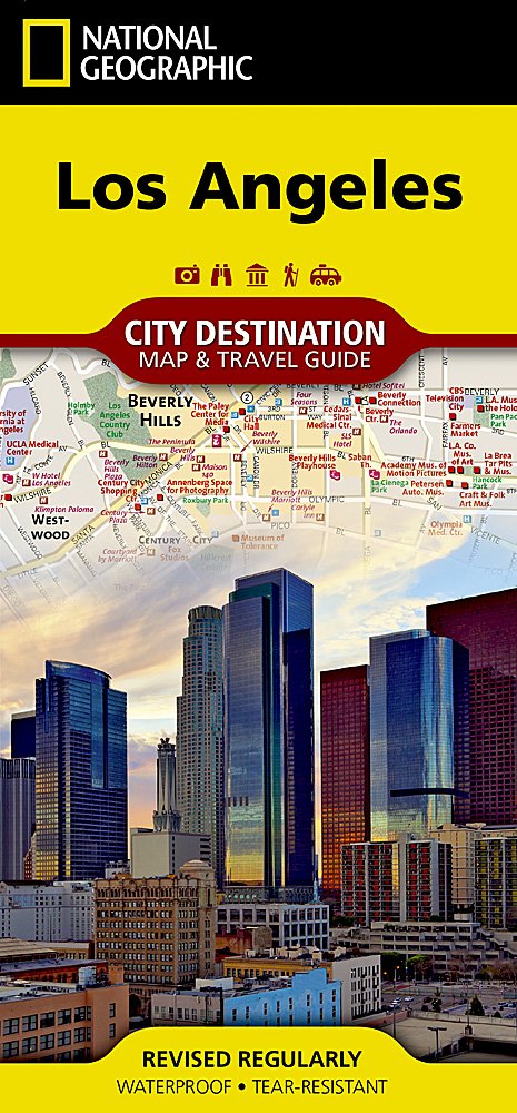
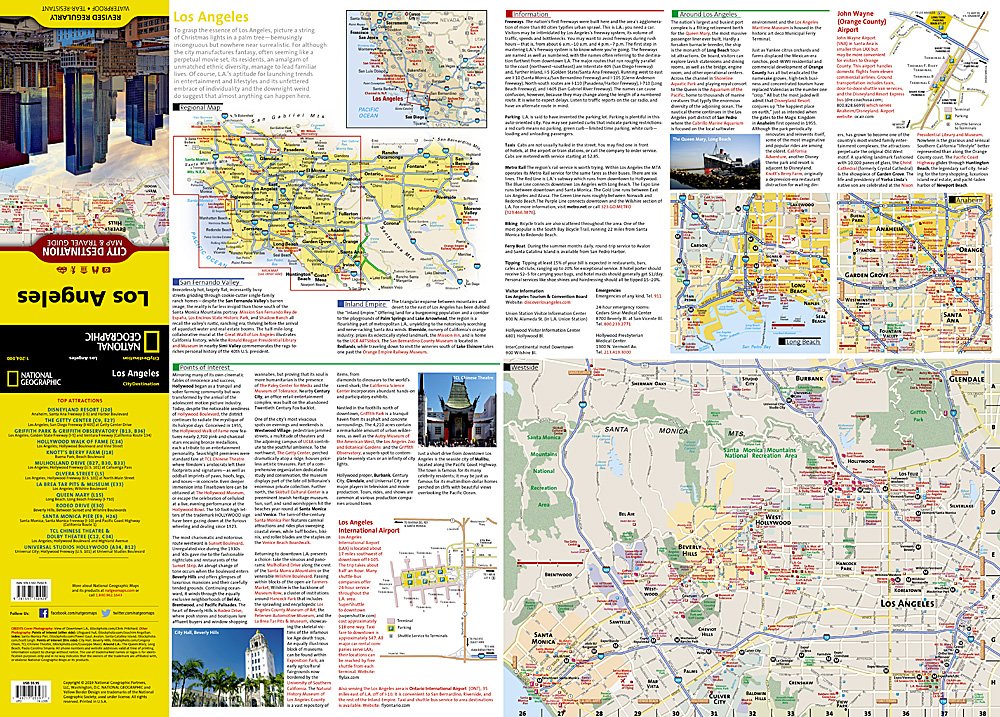
Business and leisure travelers alike will find National Geographic's City Destination map of Los Angeles is an invaluable tool for exploring this diverse global city. A unique combination of city map and travel guide, this is the ultimate travel companion.The front side includes inset maps of Westside, Long Beach and Anaheim along with a regional map and diagrams of Los Angeles (LAX) and John Wayne Airports. Provided also are general information about the city and surrounding areas, descriptions of popular points of interest and an overview of public transit system.
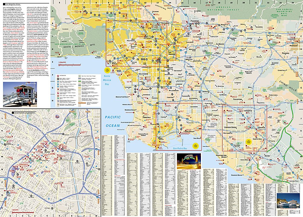
The reverse side features the main map of the entire city from the Santa Monica Mountains to Chino Hills along with an inset map of the downtown area. The easy to read street map shows road designations for freeways, toll roads, main streets, secondary roads and one way streets. Pinpointed are hundreds of points of interest, including subway and train stations, hotels, theaters, churches, notable buildings and parks. A user friendly index of cities and towns, neighborhoods, roads and streets, hotels and points of interest will help you find your destination and plan your route quickly and efficiently.
Every Destination Map is printed on durable synthetic paper, making them waterproof, tear-resistant and tough — capable of withstanding the rigors of any kind of travel.
Features:
- Double-sided map containing detailed maps and useful travel information
- Maps include a comprehensive road network, local infrastructure, and abundant natural, historical, and cultural places
- Beautiful photographs and valuable travel information aids travelers with pre-trip planning and on-the-ground adventures
- Printed on a durable, waterproof, tear-resistant material
- Lightweight, packable, and folded to fit easily in your pocket
- 4 1/4 x 9 1/4" folded; 26 x 28" opened
- Scale = 1:400,000
TIP: For lower prices on our maps, check out our promotions (click the link above the picture). Here is the info: Purchase 2 - 3 maps and get 10% off, 4 or more will get you 15% off! This promo includes ALL of our maps. For example, purchase 2 Trails Illustrated maps, 1 Destination map, and 1 Adventure map (total of 4) and get 15% off!! Just put everything in your shopping cart and you will see the savings!
Requirements: None.
You will receive: 1 National Geographic Trails Illustrated Map.
Retail packaging, shipped in a poly envelope. Shipping weight 4 oz.
If you have any questions or concerns, please contact us before or after the sale - we want you to be a happy customer!
Thanks for looking!
Listing and template services provided by inkFrog
![]()