National Geographic Maps
National Geographic City Destination Map Prague Czech Republic DC01020353
National Geographic City Destination Map Prague Czech Republic DC01020353
Couldn't load pickup availability
National Geographic City Destination Map Prague Czech Republic DC01020353
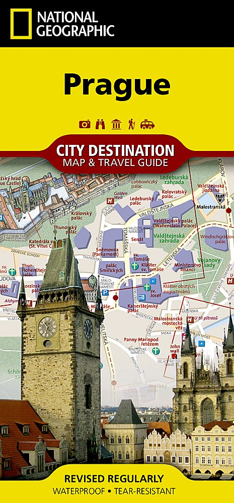
Well know for its rich history and historic city center, Prague is one of the most visited cities in all of Europe. Expertly researched, National Geographic's City Destination map of Prague is a unique combination of an easy-to-read road map with a travel guide. The front side covers the five quarters of the city center with unparalleled detail. Road designations are shown and hundreds of points of interest are pinpointed, including subway, train and tram stations, theaters, hotels, places of worship, notable buildings and parks. Many of the city's top attractions are depicted in 3D, including the Prague Castle, Charles Bridge and National Museum.
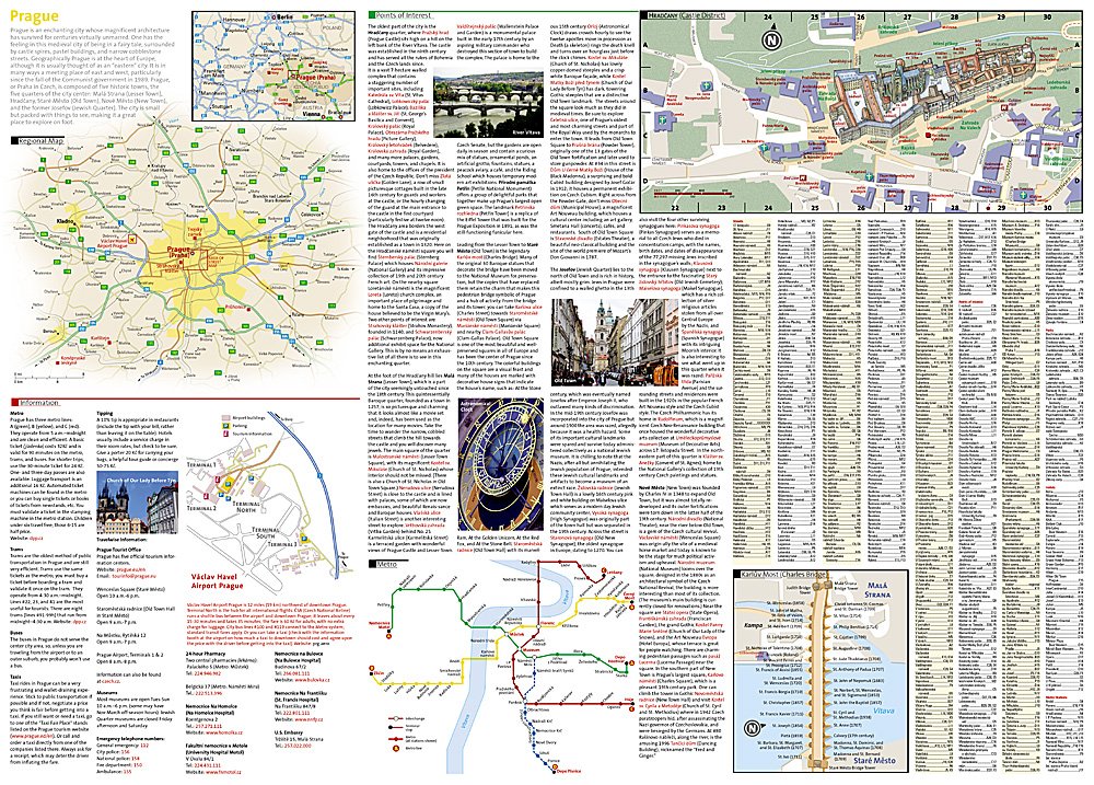
The reverse side has a regional map as well as inset maps of the Castle District and Charles Bridge. Finding your destination couldn't be simpler, with streets names, parks, hotels, metro stations and points of interest listed in a convenient index. A comprehensive map of the city's three metro lines will aid in your navigation around the city, as will a diagram of Prague airport and an overview of the city's public transportation. Also included is essential information about the city and descriptions of many of the most popular attractions. Such an abundance of specialized information make this map the perfect complement to National Geographic's Prague Traveler Guide.
Every Destination Map is printed on durable synthetic paper, making them waterproof, tear-resistant and tough — capable of withstanding the rigors of any kind of travel.
Features:
- Double-sided map containing detailed maps and useful travel information
- Maps include a comprehensive road network, local infrastructure, and abundant natural, historical, and cultural places
- Beautiful photographs and valuable travel information aids travelers with pre-trip planning and on-the-ground adventures
- Printed on a durable, waterproof, tear-resistant material
- Lightweight, packable, and folded to fit easily in your pocket
- 4 1/4 x 9 1/4" folded; 26 x 28" opened
- Scale = 1:400,000
TIP: For lower prices on our maps, check out our promotions (click the link above the picture). Here is the info: Purchase 2 - 3 maps and get 10% off, 4 or more will get you 15% off! This promo includes ALL of our maps. For example, purchase 2 Trails Illustrated maps, 1 Destination map, and 1 Adventure map (total of 4) and get 15% off!! Just put everything in your shopping cart and you will see the savings!
Requirements: None.
You will receive: 1 National Geographic Trails Illustrated Map.
Retail packaging, shipped in a poly envelope. Shipping weight 4 oz.
If you have any questions or concerns, please contact us before or after the sale - we want you to be a happy customer!
Thanks for looking!
Listing and template services provided by inkFrog
![]()