National Geographic Maps
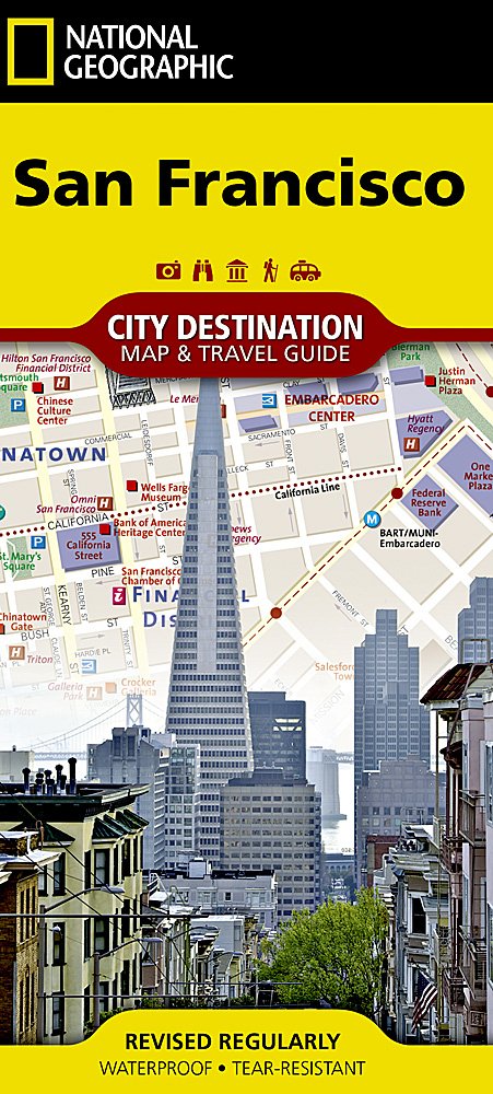
National Geographic City Destination Map San Francisco CA DC01020319
National Geographic City Destination Map San Francisco CA DC01020319
Couldn't load pickup availability
National Geographic City Destination Map San Francisco CA DC01020319
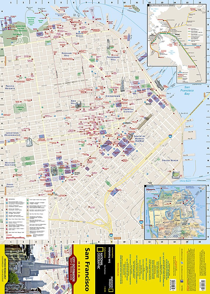
National Geographic's City Destination map of San Francisco is an invaluable tool for exploring "The City by the Bay." The front side features a street map of the eastern portion of the city from Fort Mason and Fisherman's Wharf along the bay to AT&T Park in South Beach and Civic Center and Japan Town to the west. Chinatown, the Financial District, Telegraph Hill, and the South of Market (SoMa) District are among the other notable destinations in this area. An inset map provides detail of the city's districts. Points of interest, hotels, places of worship, notable buildings, parking areas, theaters, parks, and more are easy to find with the multi-language legend. Bay Area Rapid Transit (BART) and rail stations as well as cable car routes are shown. The inset map of BART routes and stations is particularly helpful for travelers wishing to travel outside San Francisco to other communities in the Bay Area.
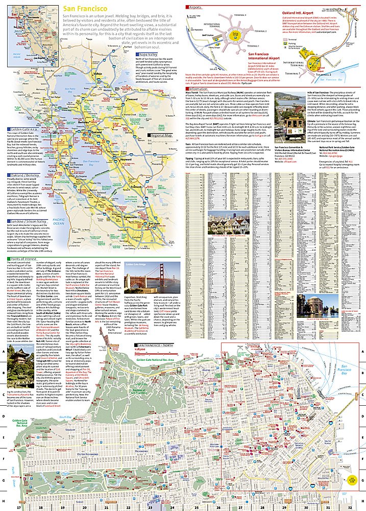
The reverse side includes a map of the entire city that includes the Presidio, Lincoln Park, Palace of Fine Arts, and Golden Gate Park. A great deal of information about San Francisco and points of interest both in the city as well as in the surrounding region is provided. Diagrams of San Francisco International Airport and Oakland International Airport will help you navigate these travel hubs quickly and efficiently.
Every Destination Map is printed on durable synthetic paper, making them waterproof, tear-resistant and tough — capable of withstanding the rigors of any kind of travel.
Features:
- Double-sided map containing detailed maps and useful travel information
- Maps include a comprehensive road network, local infrastructure, and abundant natural, historical, and cultural places
- Beautiful photographs and valuable travel information aids travelers with pre-trip planning and on-the-ground adventures
- Printed on a durable, waterproof, tear-resistant material
- Lightweight, packable, and folded to fit easily in your pocket
- 4 1/4 x 9 1/4" folded; 26 x 28" opened
- Scale = 1:400,000
TIP: For lower prices on our maps, check out our promotions (click the link above the picture). Here is the info: Purchase 2 - 3 maps and get 10% off, 4 or more will get you 15% off! This promo includes ALL of our maps. For example, purchase 2 Trails Illustrated maps, 1 Destination map, and 1 Adventure map (total of 4) and get 15% off!! Just put everything in your shopping cart and you will see the savings!
Requirements: None.
You will receive: 1 National Geographic Trails Illustrated Map.
Retail packaging, shipped in a poly envelope. Shipping weight 4 oz.
If you have any questions or concerns, please contact us before or after the sale - we want you to be a happy customer!
Thanks for looking!
Listing and template services provided by inkFrog
![]()