National Geographic
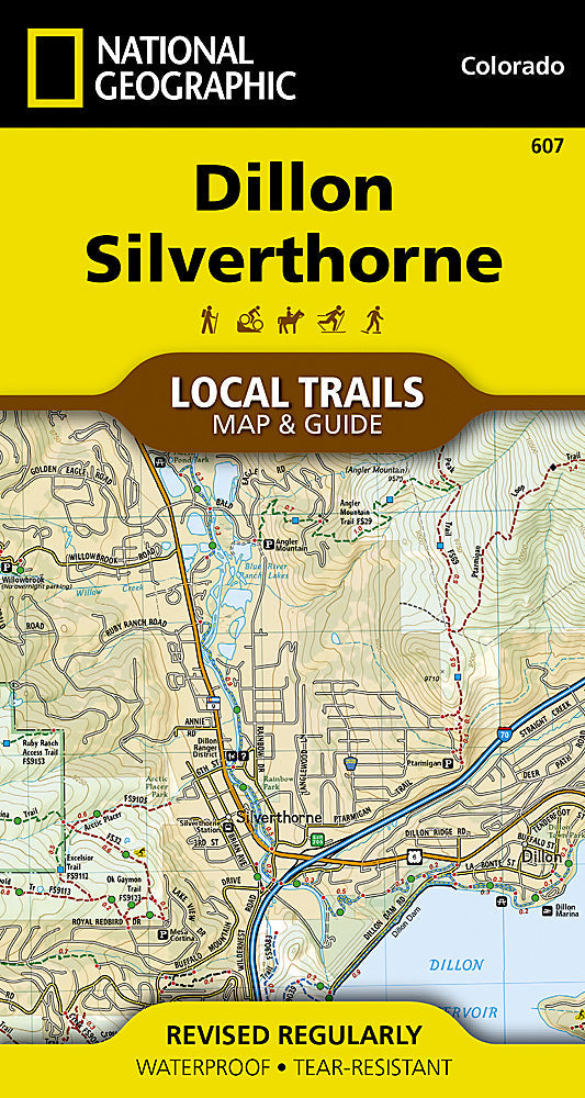
National Geographic TI Dillon Silverthorne CO Local Trails Topo Map & Guide TI00000607
National Geographic TI Dillon Silverthorne CO Local Trails Topo Map & Guide TI00000607
Couldn't load pickup availability
BRAND NEWNational Geographic Trails Illustrated Dillon & Silverthorne, CO Local Trails Topo Map & Guide.
Waterproof Tear-Resistant Topographic Map
Located in the heart of Summit Countyminutes from the ski slopes of Breckenridge, Keystone, Copper Mountain, and Arapahoe Basin, and on the shores of shimmering Dillon Reservoirthe mountain towns of Dillon and Silverthorne offer breathtaking views of the Gore and Tenmile Ranges. The location provides countless opportunities for recreation on both water and land.
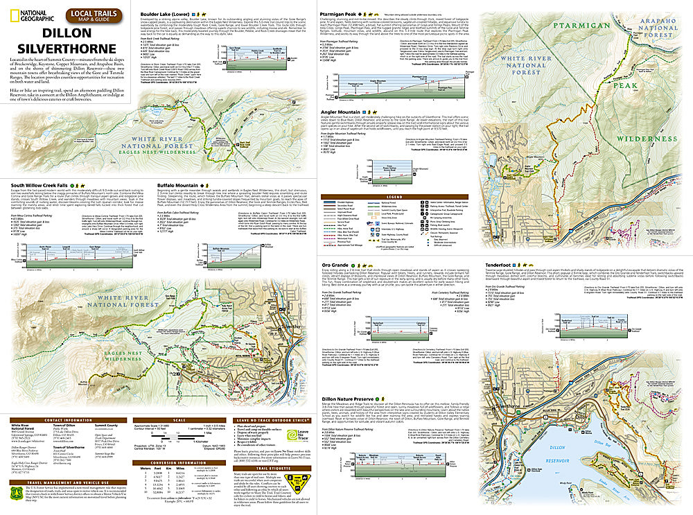
The Dillon and Silverthorne area is crisscrossed with trails for all ability levels, sometimes with so many trails it can be difficult to choose where to start. This map is a combination of a standard trail map on the front with a helpful guide on the back that has a selection of recommended hikes, from the leisurely stroll on the 2.4 mile Oro Grande Trail to the incredibly steep, 3,000 foot trek up Buffalo Mountain. Each selected trail includes a brief description, specs such as elevation gain and length as well as a detailed elevation profile to track your progress up and down the numerous peaks and valleys.
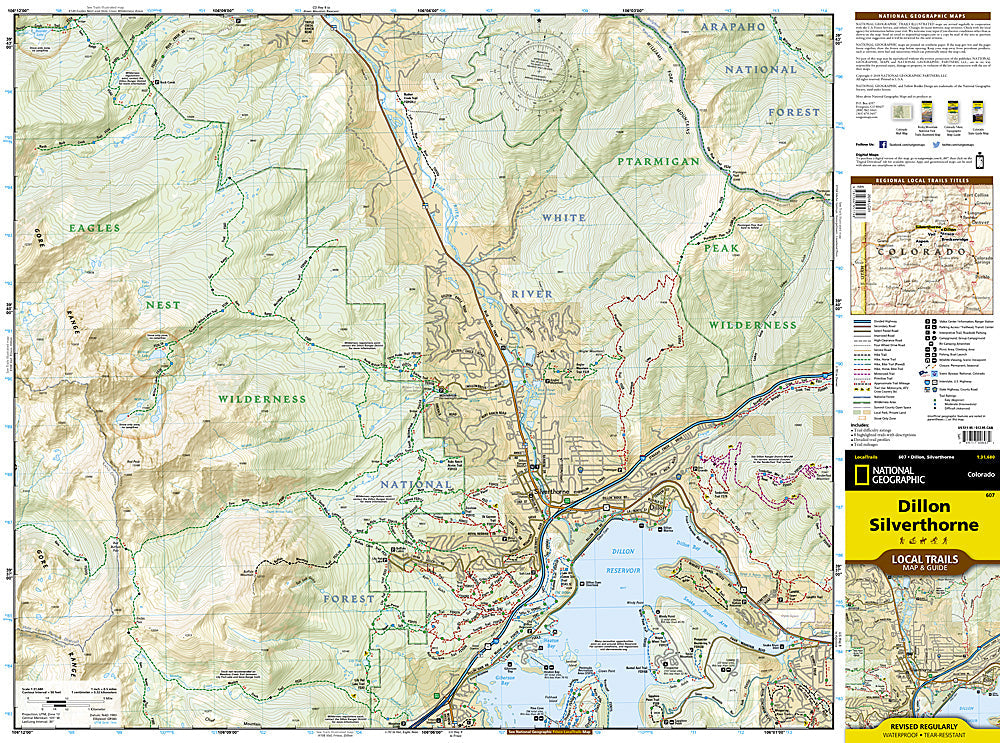
Each Local Trails map includes detailed trail maps at 1 inch = 1/2 mile. At this scale every turn of the trail is clearly visible and when covering steep terrain the contours are clearly visible. In addition to the standard features like trailheads and parking areas the maps also show difficulties for each trail segment so you can tell if the entire trail is moderate or if there is only a single short section of difficult on an otherwise easy trail.
Every Local Trails map is printed on "Backcountry Tough" waterproof, tear-resistant paper. A full UTM grid is printed on the map to aid with GPS navigation.
Features:
- Waterproof and tear-resistant
- Trailheads, parking areas, trail difficulty ratings
- Detailed trail profiles, including elevation gain and length
- Trail mileages
- 6 highlighted trails with descriptions
- Updated regularly to ensure accuracy
- Scale: 1:31,680
- Folded Size: 4" x 7.5"
- Flat Size: 19.5" x 26.25"
- Weight: Approx. 3 oz
TIP:For lower prices on our maps, check out our promotions (click the link above the picture). Here is the info: Purchase 2 - 3 maps and get 10% off, 4 or more will get you 15% off! This promo includes ALL of our maps. For example, purchase 2 Trails Illustrated maps, 1 Destination map, and 1 Adventure map (total of 4) and get 15% off!! Just put everything in your shopping cart and you will see the savings!
Requirements:None.
You will receive:1 National Geographic Local Trails Map.
OEM packaging, shipped in a poly envelope. Shipping weight 4 oz.
If you have any questions or concerns, please contact us before or after the sale - we want you to be a happy customer!
Thanks for looking!
