

National Geographic
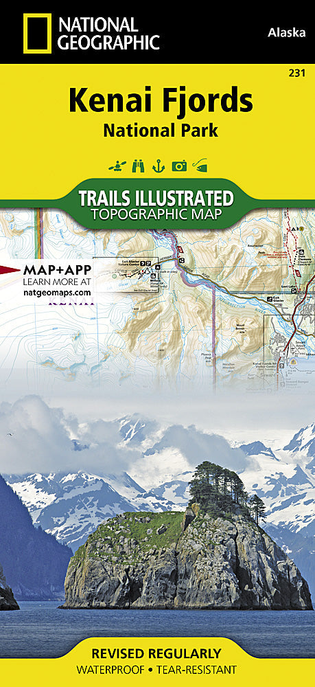
National Geographic Trails Illustrated Alaska Kenai Fjords National Park Map TI00000231
National Geographic Trails Illustrated Alaska Kenai Fjords National Park Map TI00000231
Couldn't load pickup availability
National GeographicTrails Illustrated Alaska Kenai Fjords National Park Map 231.
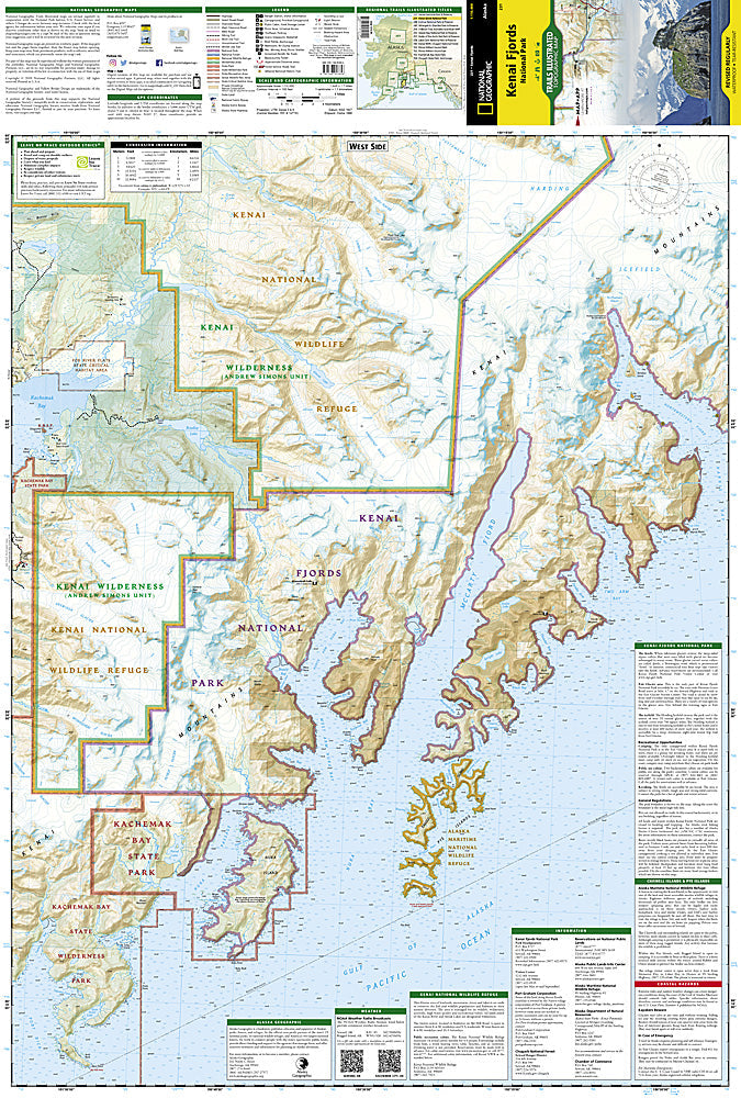
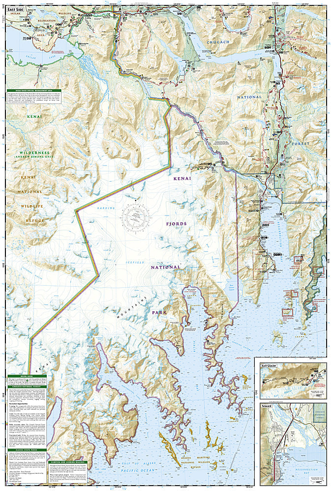
On a given day in southern Alaska's Kenai Fjords National Park, one can see whales, bears, and ice worms. This map includes Kenai Fjords National Park; Kenai National Wildlife Refuge; Chugach National Forest; Harding Icefield; Nuka Island; Kachemak Bay State Park; Ragged Islands; Pye Islands.
Product Features:
- Approximately 4.25" x 9.25" folded; 26" x 38" fully opened
- Scale =1:105,600
- Waterproof, tear-resistant
TIP:For lower prices on our maps, check out our promotions (click the link above the picture). Here is the info: Purchase 2 - 3 maps and get 10% off, 4 or more willget you 15% off! This promo includes ALL of our maps. For example, purchase 2 Trails Illustrated maps, 1 Destination map, and 1 Adventure map (total of 4) and get15% off!! Just put everything in your shopping cart and you will see the savings!
Requirements: None.
You will receive: 1National GeographicTrails Illustrated Map.
Retailpackaging, shipped in a poly envelope. Shipping weight 4 oz.
If you have any questions or concerns, please contact us before or after the sale - we want you to be a happy customer!
Thanks for looking!