National Geographic
National Geographic Trails Illustrated AZ Flagstaff/Sedona Trail Map TI00000856
National Geographic Trails Illustrated AZ Flagstaff/Sedona Trail Map TI00000856
Couldn't load pickup availability
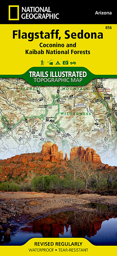
National GeographicTrails Illustrated Arizona Flagstaff/ Sedona Trail Map 856.
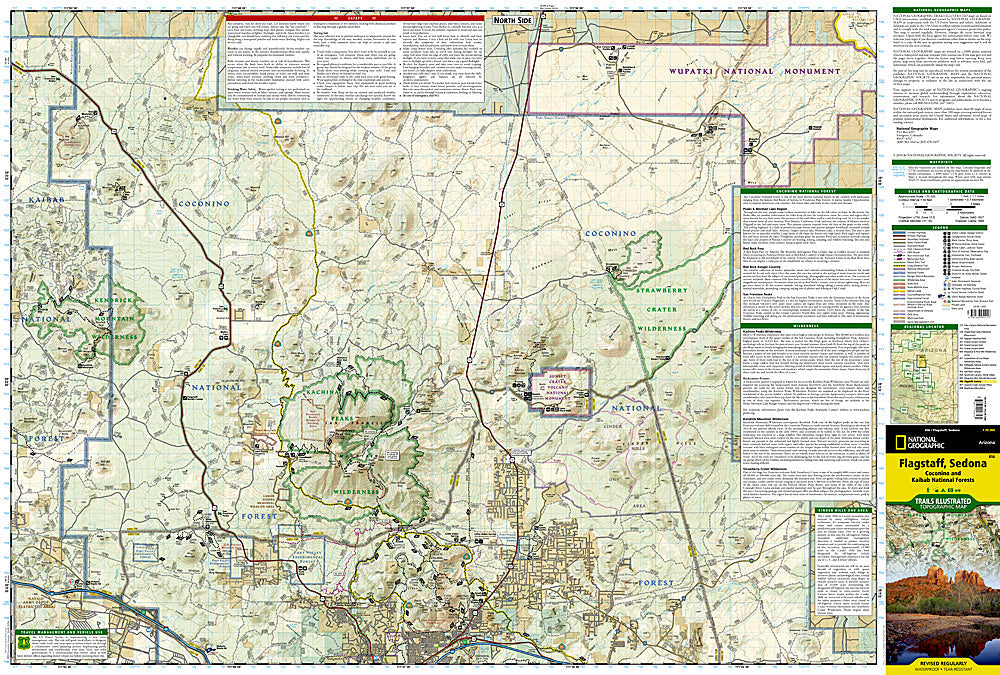
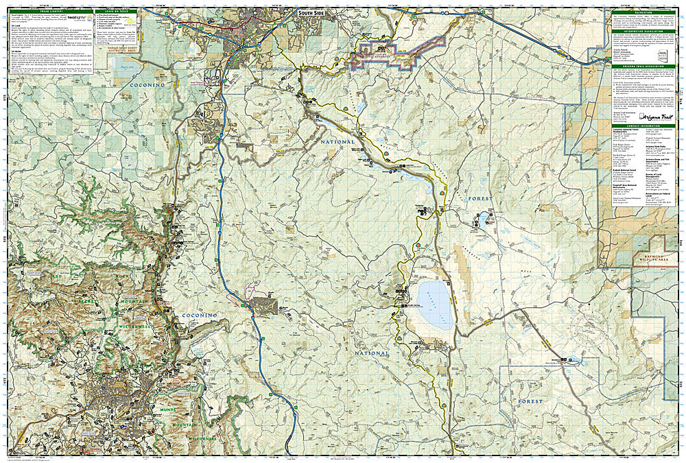
One of five new Trails Illustrated maps for Coconino and Prescott National Forests in Arizona offering the most detailed and up-to-date map for the forest. Our maps are carefully researched and developed in co-operation with local land managers and agencies. Each map contains easy to read trails, numbered forest service roads, campsites, access points, scenic points-of-interests, and important facilities.
Coverage Highlights:
Strawberry Crater, Kachina Peaks, Kendrick Mountain Wilderness Areas, Sunset Crater & Walnut Canyon National, Monuments, Sedona-Oak Creek Canyon Scenic Road, Verde Wild & Scenic River, Red Rock Scenic Byway
Wilderness Coverage:
Strawberry Crater, Kachina Peaks, Kendrick Mountain
Other Attractions:
Fort Valley Experimental Forest, GA Pearson Natural Area, Cinder Hills OHV Area, Flagstaff Nordic Center, ski areas, scenic byways and routes, hiking trails, mountain biking, campgrounds, horseback riding, archaeological sites, fishing
Features:
- Approximately 4.25" x 9.25" folded; 26" x 38" fully opened
- Scale =1:70,000
- Waterproof, tear-resistant
TIP:For lower prices on our maps, check out our promotions (click the link above the picture). Here is the info: Purchase 2 - 3 maps and get 10% off, 4 or more willget you 15% off! This promo includes ALL of our maps. For example, purchase 2 Trails Illustrated maps, 1 Destination map, and 1 Adventure map (total of 4) and get15% off!! Just put everything in your shopping cart and you will see the savings!
Requirements: None.
You will receive: 1National GeographicTrails Illustrated Map.
Retailpackaging, shipped in a poly envelope. Shipping weight 4 oz.
If you have any questions or concerns, please contact us before or after the sale - we want you to be a happy customer!
Thanks for looking!
