National Geographic
National Geographic CA Yosemite Park Map Pack Bundle TI01020584B
National Geographic CA Yosemite Park Map Pack Bundle TI01020584B
Couldn't load pickup availability
BRAND NEW National Geographic Trails Illustrated California Yosemite National Park Map Pack Bundle Topo Map 01020584. Great for Camping, Fishing, Hunting, Hiking, Backpacking, Family Outings, Outdoor Adventure.
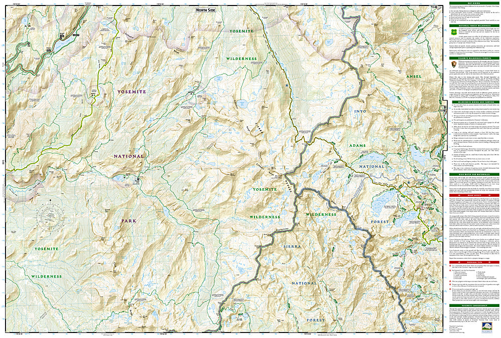
More than just a map, National Geographic Trails Illustrated topographic maps are designed to take you into the wilderness and back. Printed on tear-resistant, waterproof material, this map can go anywhere you do. Each map is based on exact reproductions of USGS topographic map information, updated, customized, and enhanced to meet the unique features of each area. The maps include valuable wilderness tips and Leave No Trace guidelines, along with updated trails, trailheads, points of interest, campgrounds, and much more. With a new color palette and stunning shaded relief, backcountry navigation has never been easier.
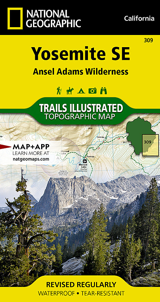
This listing is for the California Yosemite National Park Map Pack Bundle Topo Map 01020584. This bundle includes 4 maps - 306, 307, 308, and 309. To see details of these maps or for other states and maps visit our store.
The California Yosemite National Park Map Pack Bundle Trails Illustrated maps are the most comprehensive recreational maps for this beautiful area of California. Seeking the best combination of detailed maps and value for your Yosemite National Park trip, then get our bundle pack. It includes four Yosemite National Park Trails Illustrated maps, providing you coverage of the entire map region, while saving you over 15%. Like all Trails Illustrated maps, the Yosemite National Park Bundle set is frequently revised and printed on waterproof, tear-resistant material to stand up to all conditions. This detailed topographic recreation map bundle contains carefully researched trails, campsites, forest service roads, and points-of-interests. Includes UTM grids for use with your GPS unit.
Coverage includes the entire Yosemite National Park, Tuolomne Meadows, Hoover Wilderness, Hetch Hetchy Reservoir, Ansel Adams Wilderness, Yosemite Valley, Wawona, and more.
- Approximately 4.25" x 7.5" folded; 22" x 32" fully opened
- Scale = 1:40,000
- Waterproof, tear-resistant
TIP 1: For lower prices on our maps, check out our promotions (click the link above the picture). Here is the info: Purchase 2 - 3 maps and get 10% off, 4 or more will get you 15% off! This promo includes ALL of our maps. For example, purchase 2 Trails Illustrated maps, 1 Destination map, and 1 Adventure map (total of 4) and get 15% off!! Just put everything in your shopping cart and you will see the savings!
TIP 2: We have a huge selection and great prices on our National Geographic maps! Click here to go to our store, click on the store category called Maps & Books, then browse our sub-categories, or use the Store search tool to find items quickly.
Requirements: None.
You will receive: 1 National Geographic Trails Illustrated Map Pack Bundle (4 maps).
Retail packaging, shipped in a poly envelope. Shipping weight 13 oz.
If you have any questions or concerns, please contact us before or after the sale - we want you to be a happy customer!
Thanks for looking!
Listing and template services provided by inkFrog
![]()