NA
National Geographic Trails Illustrated Colo Idaho Springs Loveland Pass Map TI00000104
National Geographic Trails Illustrated Colo Idaho Springs Loveland Pass Map TI00000104
Couldn't load pickup availability
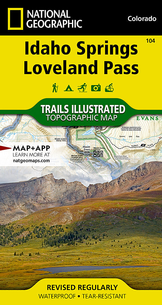
BRANDNEW National GeographicTrails IllustratedColoradoIdaho Springs/ Georgetown / Loveland PassTopo Map 104. Greatfor Camping, Fishing, Hunting,Hiking, Backpacking, Family Outings, Outdoor Adventure.
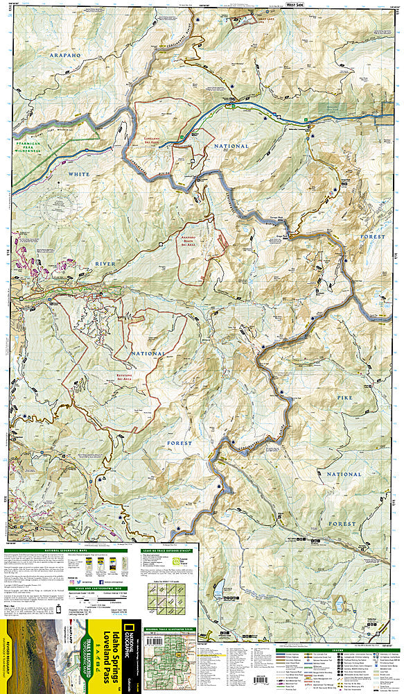
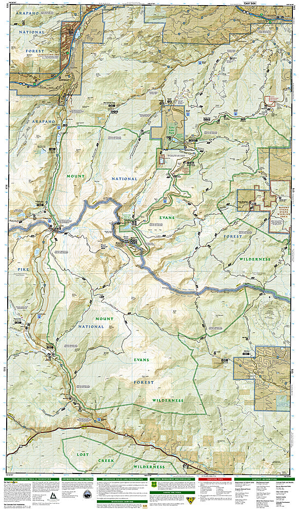
More than just a map, National Geographic Trails Illustrated topographic maps are designed to take you into the wilderness and back. Printed on tear-resistant, waterproof material, this map can go anywhere you do. Each map is based on exact reproductions of USGS topographic map information, updated, customized, and enhanced to meet the unique features of each area. The maps include valuable wilderness tips and Leave No Trace guidelines, along with updated trails, trailheads, points of interest, campgrounds, and much more. With a new color palette and stunning shaded relief, backcountry navigation has never been easier.
This listing is for theColoradoIdaho Springs/ Georgetown / Loveland PassTopo Map 104.
TheIdaho Springs/ Georgetown / Loveland PassTrails Illustrated map is the most comprehensive recreational map for this beautiful area of Colorado.Coverage includes Arapaho and Pike national forests, Mount Evans Wilderness, Idaho Springs, Georgetown, Montezuma, Keystone, Clear Creek, Chicago Lakes, and Summit Lake. 14ers include: Mt Evans, Mt Bierstadt, Grays and Torreys peaks. Also includes Loveland, Webster, Juniper and Guanella passes. Ski Areas: Arapaho Basin, Loveland and Keystone. Includes UTM grids for use with your GPS unit.
- Approximately 4.25" x 7.5" folded; 22" x 32" fully opened
- Scale =1:40,680
- Waterproof, tear-resistant
Requirements: None.
TIP: This item is also available in money-saving 2-packs and 3-packs! Go to our store, then browse our Discounted Multi-Packs Store category, or use the Store search tool to find items quickly.
You will receive: 1National GeographicTrails Illustrated Map.
Retailpackaging, shipped in a poly envelope. Shipping weight 4 oz.
If you have any questions or concerns, please contact us before or after the sale - we want you to be a happy customer!
Thanks for looking!