NA
National Geographic Trails Illustrated Colorado Eagle / Avon Topo Trail Map TI00000121
National Geographic Trails Illustrated Colorado Eagle / Avon Topo Trail Map TI00000121
Couldn't load pickup availability
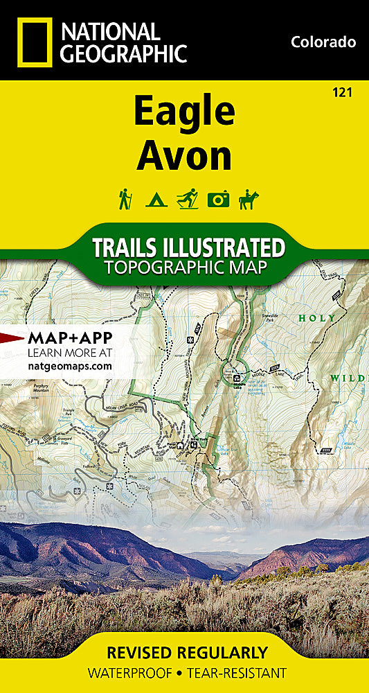
BRANDNEW National GeographicTrails IllustratedColorado Eagle / AvonTopo Map 121. Greatfor Camping, Fishing, Hunting,Hiking, Backpacking, Family Outings, Outdoor Adventure.
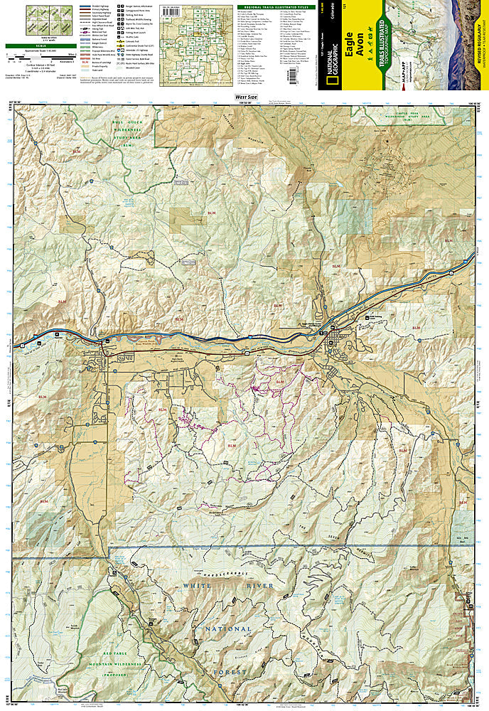
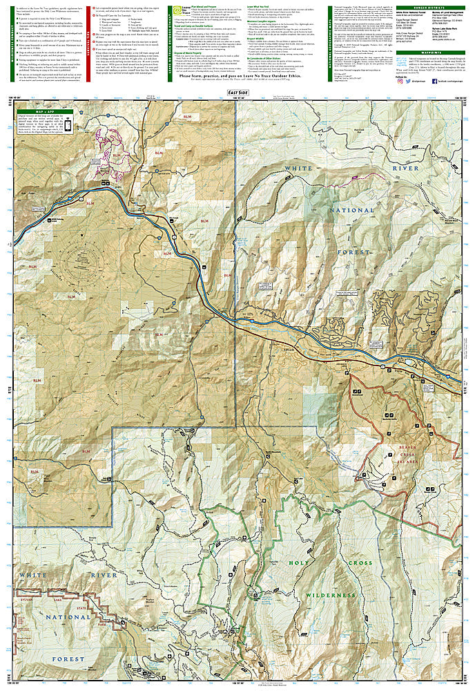
More than just a map, National Geographic Trails Illustrated topographic maps are designed to take you into the wilderness and back. Printed on tear-resistant, waterproof material, this map can go anywhere you do. Each map is based on exact reproductions of USGS topographic map information, updated, customized, and enhanced to meet the unique features of each area. The maps include valuable wilderness tips and Leave No Trace guidelines, along with updated trails, trailheads, points of interest, campgrounds, and much more. With a new color palette and stunning shaded relief, backcountry navigation has never been easier.
This listing is for theColoradoEagle / AvonTopo Map 121.
TheEagle / AvonTrails Illustrated map is the most comprehensive recreational map for this beautiful area of Colorado.Coverage includes the White River National Forest, Bull Gulch Wilderness Area, and Holy Cross Wilderness. Also included are the cities of Eagle, Gypsum, Avon, Wolcott and Fulford, as well as Eagle River; Beaver and Squaw creeks; and Hardscrabble Mountain. Ski areas: Beaver Creek and Arrowhead. 10th Mountain Huts: Polar Star Inn. Includes UTM grids for use with your GPS unit.
- Approximately 4.25" x 7.5" folded; 22" x 32" fully opened
- Scale =1:40,680
- Waterproof, tear-resistant
Retailpackaging, shipped in a poly envelope. Shipping weight 4 oz.
If you have any questions or concerns, please contact us before or after the sale - we want you to be a happy customer!
Thanks for looking!


