National Geographic
National Geographic Trails Illustrated Colorado Gunnison Pitkin Topo Map TI00000132
National Geographic Trails Illustrated Colorado Gunnison Pitkin Topo Map TI00000132
Couldn't load pickup availability
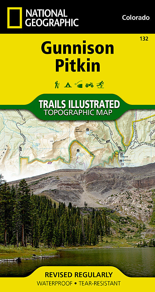
National Geographic Colorado Gunnison/Pitkin Trails IllustratedMap 132
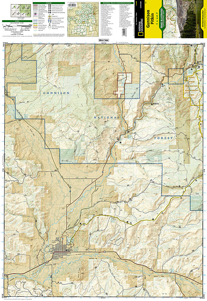
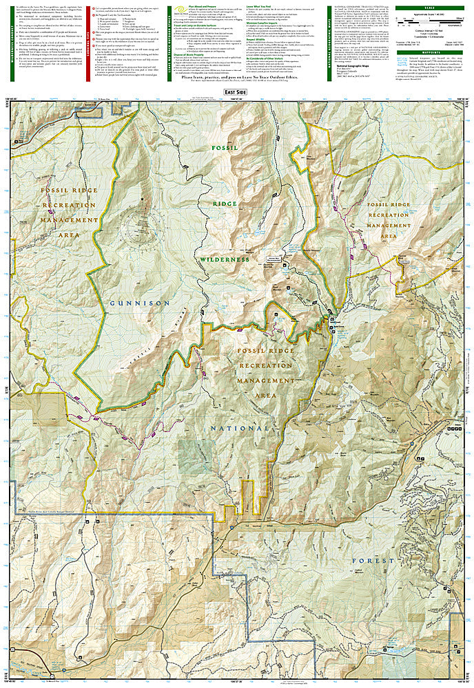
More than just a map, National Geographic Trails Illustrated topographic maps are designed to take you into the wilderness and back. Printed on tear-resistant, waterproof material, this map can go anywhere you do. Each map is based on exact reproductions of USGS topographic map information, updated, customized, and enhanced to meet the unique features of each area. The maps include valuable wilderness tips and Leave No Trace guidelines, along with updated trails, trailheads, points of interest, campgrounds, and much more. With a new color palette and stunning shaded relief, backcountry navigation has never been easier.
The Gunnison / Pitkin Trails Illustrated map is the most comprehensive recreational map for this beautiful area of Colorado. Coverage includes Gunnison National Forest; the cities of Gunnison, Almont, Pitkin, Ohio, and Parlin; East, Gunnison and Taylor rivers; Gold and Tomichi Creek; Henry Lake; and Gunsight Pass.
Features:
- Approximately 4" x 7 1/2" folded; 22" x 32" fully opened
- Scale = 1:40,680
- Waterproof, tear-resistant
OEM packaging, shipped in a poly envelope. Shipping weight 4 oz.
If you have any questions or concerns, please contact us before or after the sale - we want you to be a happy customer!
Thanks for looking!