National Geographic
National Geographic Trails Illustrated KY Mammoth Cave National Park Map TI00000234
National Geographic Trails Illustrated KY Mammoth Cave National Park Map TI00000234
Couldn't load pickup availability
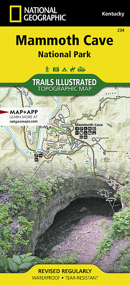
National GeographicTrails Illustrated Kentucky Mammoth Cave National Park Topo Map 234.
More than just a map, National Geographic Trails Illustrated topographic maps are designed to take you into the wilderness and back. Printed on tear-resistant, waterproof material, this map can go anywhere you do. Each map is based on exact reproductions of USGS topographic map information, updated, customized, and enhanced to meet the unique features of each area. The maps include valuable wilderness tips and Leave No Trace guidelines, along with updated trails, trailheads, points of interest, campgrounds, and much more. With a new color palette and stunning shaded relief, backcountry navigation has never been easier.
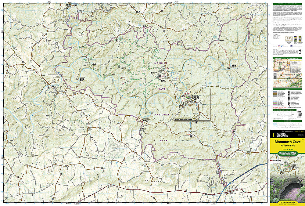
Topographic map for Mammoth Cave, and surrounding area in west-central Kentucky covers the area in and around the cave.
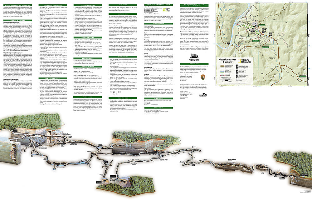
The map includes the Green River, Nolin River, First Creek Lake, the city of Brownsville, Collie, Maple Springs, Houchins Ferry, Dennison Ferry, Mammoth Cave Ridge, Woolsey Valley, Doyel Valley, Jim Lee Ridge, and much more. The second side of the map shows a detailed inset of the cave area, along with general information about the park and the cave. Includes UTM grids for use with your GPS unit.
Features:
- Approximately 4" x 9" folded; 25" x 37" fully opened
- Scale =1:35,000
- Waterproof, tear-resistant
Requirements: None.
TIP:For lower prices on our maps, check out our promotions (click the link above the picture). Here is the info: Purchase 2 - 3 maps and get 10% off, 4 or more willget you 15% off! This promo includes ALL of our maps. For example, purchase 2 Trails Illustrated maps, 1 Destination map, and 1 Adventure map (total of 4) and get15% off!! Just put everything in your shopping cart and you will see the savings!
You will receive: 1National GeographicTrails Illustrated Map.
Retailpackaging, shipped in a poly envelope. Shipping weight 4 oz.
If you have any questions or concerns, please contact us before or after the sale - we want you to be a happy customer!
Thanks for looking!


