National Geographic Maps
National Geographic Allagash Nat Forest Map Pack Bundle TI01021246B
National Geographic Allagash Nat Forest Map Pack Bundle TI01021246B
Couldn't load pickup availability
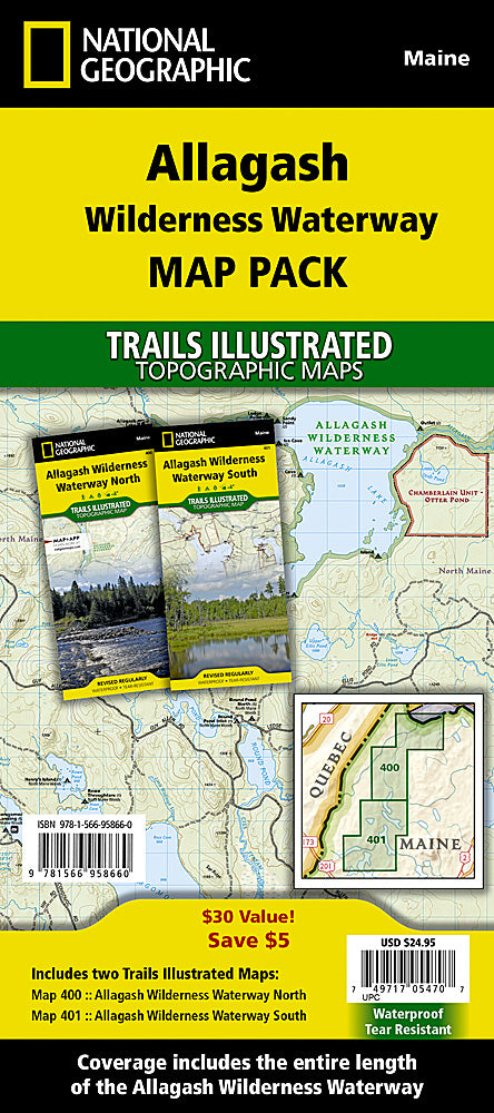
BRAND NEW National Geographic Trails Illustrated Maine Allagash Wilderness Waterway Topographic Map Pack Bundle.
• Waterproof • Tear-Resistant • Topographic Maps
National Geographic's Trails Illustrated Map Pack Bundle of the Allagash Wilderness Waterway covers a majestic 92-mile-long ribbon of rivers, lakes, ponds, and streams that winds its way through the heart of the North Maine Woods. National Geographic's Trails Illustrated Map Pack Bundle is designed to meet the needs of outdoor enthusiasts by combining valuable information with unmatched detail of this popular recreation area and is created in partnership with local land management agencies.
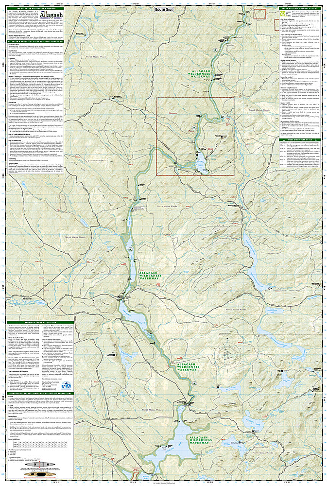
Whether paddling the Northern Forest Canoe Trail, camping in the North Maine Woods, or driving the Maine Scenic Byway, these maps perform as a highly functional travel tool that is as useful as it is remarkably crafted. The map base includes contour lines, shaded relief, and elevations for summits and many lakes. Recreation features are clearly marked, including picnic areas, trailheads, RV camping, primitive campsites, canoe carry downs, and boat launches. These maps are loaded with valuable information such as watercraft regulations, rules for recreational use and access, river difficulty scale, checkpoints, visitor and ranger station locations, and more.
With miles of mapped trails, these maps can guide you off the beaten path and back again in some of the most breathtaking scenery in the region. The map base includes contour lines, shaded relief, and elevations for summits and passes.
Buy the Map Pack and save over 15%!
The Allagash Wilderness Waterway Map Pack includes:
Map 400 :: Allagash Wilderness Waterway North
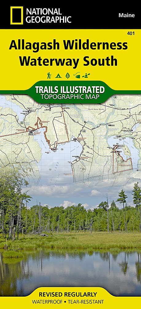
Map 401 :: Allagash Wilderness Waterway South
Every Trails Illustrated map is printed on "Backcountry Tough" waterproof, tear-resistant paper. A full UTM grid is printed on the map to aid with GPS navigation.
Features:
- Waterproof, tear-resistant paper
- Accurate topography/terrain with clearly labeled details
- Full UTM grid for GPS use
- Includes regulations, permit info, and safety tips
- Hiking trail and backcountry road guides
- Route descriptions and mileages
- Detailed topographic map with contour lines, elevations, and shaded relief
- Water features with river mileage
- Mountain bike routes with degree of difficulty
- Campgrounds and campsites, scenic overlooks, and boat launch sites
- Model: TI01021246B
- Scale: 1:63,360
- Folded Size: 4.25" x 9.25"
- Flat Size: 25.5" x 37.75"
- Weight: Approx. 3.4 oz each map
TIP: For lower prices on our maps, check out our promotions (click the link above the picture). Here is the info: Purchase 2 - 3 maps and get 10% off, 4 or more will get you 15% off! This promo includes ALL of our maps. For example, purchase 2 Trails Illustrated maps, 1 Destination map, and 1 Adventure map (total of 4) and get 15% off!! Just put everything in your shopping cart and you will see the savings!
Retail packaging, shipped in a poly envelope. Shipping weight 8 oz.
If you have any questions or concerns, please contact us before or after the sale - we want you to be a happy customer!
Thanks for looking!


