National Geographic
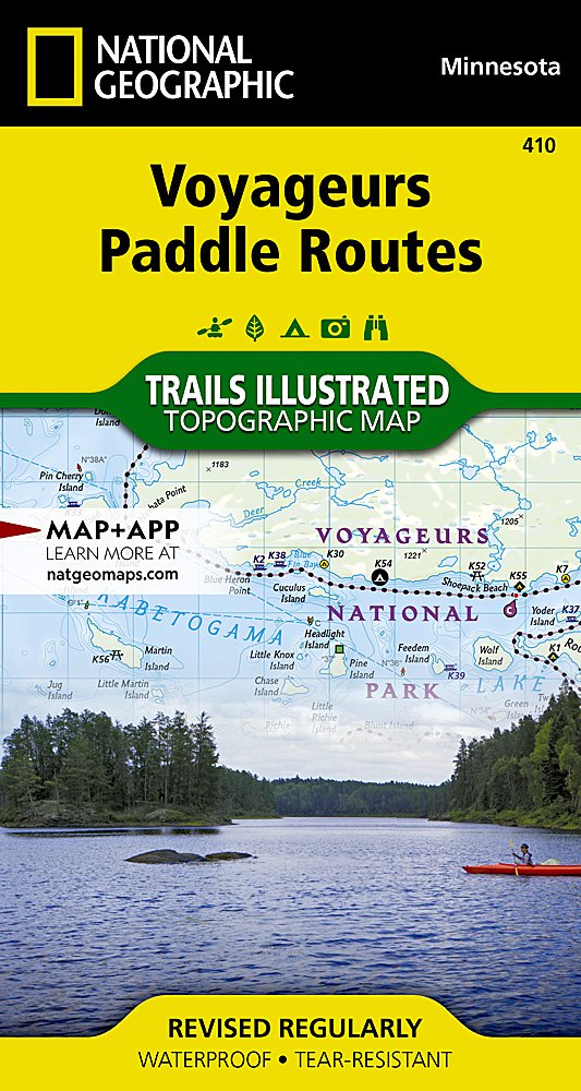
National Geographic Trails Illustrated MN Voyageurs Paddling Routes Topo Map TI00000410
National Geographic Trails Illustrated MN Voyageurs Paddling Routes Topo Map TI00000410
Couldn't load pickup availability
BRAND NEW National Geographic Trails Illustrated MN Voyageurs Paddling Routes Topo Map 410.
Waterproof Tear-Resistant Topographic Map
Located at the border of Minnesota and Ontario, Canada, Voyageurs National Park is defined by its interconnected waterways which entice you to leave your car behind and explore by kayak, canoe, houseboat, or motorboat. Lying on the intersection of the aquatic and terrestrial ecosystems, visitors from around the world enjoy the geologic outcroppings formed by ancient volcanoes, a diverse population of wildlife, the boreal forest, a history rich in culture, and starry nights.
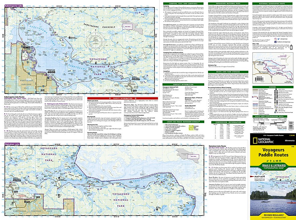
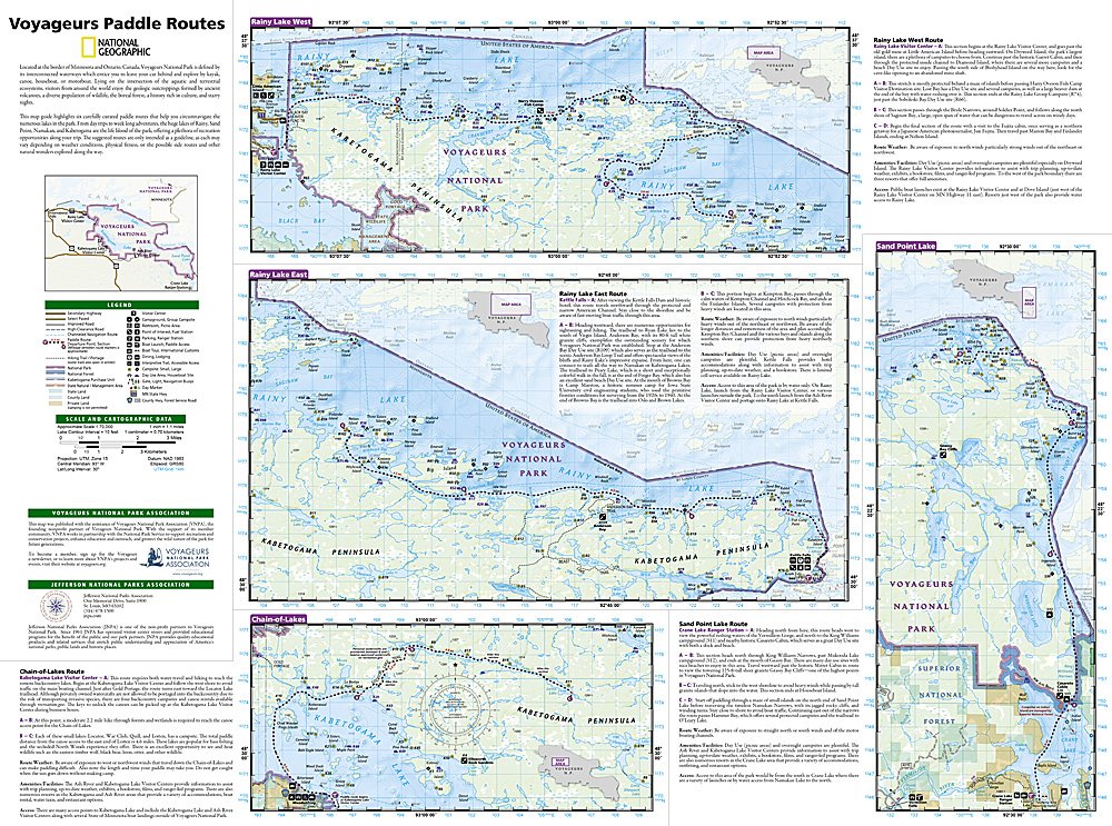
This map guide highlights six carefully curated paddle routes that help you circumnavigate the numerous lakes in the park. From day trips to week long adventures, the huge lakes of Rainy, Sand Point, Namakan, and Kabetogama are the life blood of the park, offering a plethora of recreation opportunities along your trip. The suggested routes are only intended as a guideline, as each may vary depending on weather conditions, physical fitness, or the possible side routes and other natural wonders explored along the way.
Each of the paddle routes includes a map with the route highlighted and a description that provides detailed explanations with prominent landmarks and important turns noted. The combination of map and text descriptions helps make the complex lake system of Voyagers National Park much easier to navigate.
Every Trails Illustrated map is printed on "Backcountry Tough" waterproof, tear-resistant paper. A full UTM grid is printed on the map to aid with GPS navigation.
Features:
- Accurate topography/terrain with clearly labeled details
- Full UTM grid for GPS use
- Hundreds of points of interest, including the locations of parks and nature reserves, protected lands, historical and cultural attractions
- Thousands of place names including towns and natural features; detailed place names index
- Important travel networks including airports, lighthouses, ferry routes and rail lines
- Updated regularly to ensure accuracy
- Waterproof and tear-resistant paper
- Scale: 1:70,000
- Size: 4" x 7.5"
- Weight: Approx. 3 oz
TIP: For lower prices on our maps, check out our promotions (click the link above the picture). Here is the info: Purchase 2 - 3 maps and get 10% off, 4 or more will get you 15% off! This promo includes ALL of our maps. For example, purchase 2 Trails Illustrated maps, 1 Destination map, and 1 Adventure map (total of 4) and get 15% off!! Just put everything in your shopping cart and you will see the savings!
Requirements: None.
You will receive: 1 National Geographic Topographic Map.
OEM packaging, shipped in a poly envelope. Shipping weight 4 oz.
If you have any questions or concerns, please contact us before or after the sale - we want you to be a happy customer!
Thanks for looking!
