National Geographic
National Geographic Trails Illustrated MT Bob Marshall Wilderness Topo Map TI00000725
National Geographic Trails Illustrated MT Bob Marshall Wilderness Topo Map TI00000725
Couldn't load pickup availability
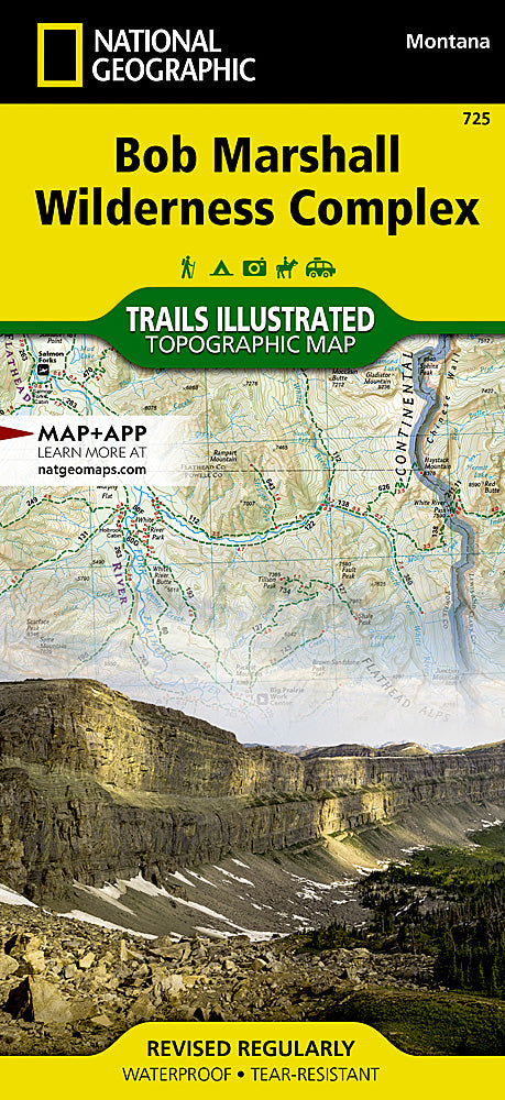
National Geographic Trails Illustrated Montana Bob Marshall Wilderness Topo Map 725. Greatfor Camping, Fishing, Hunting,Hiking, Backpacking, Family Outings, Outdoor Adventure.
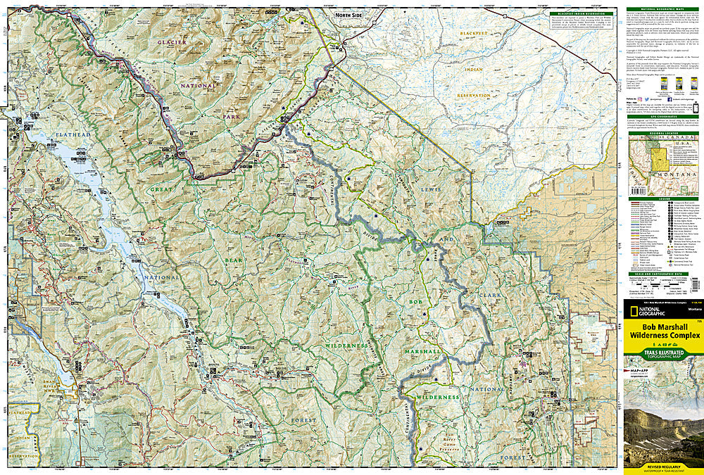
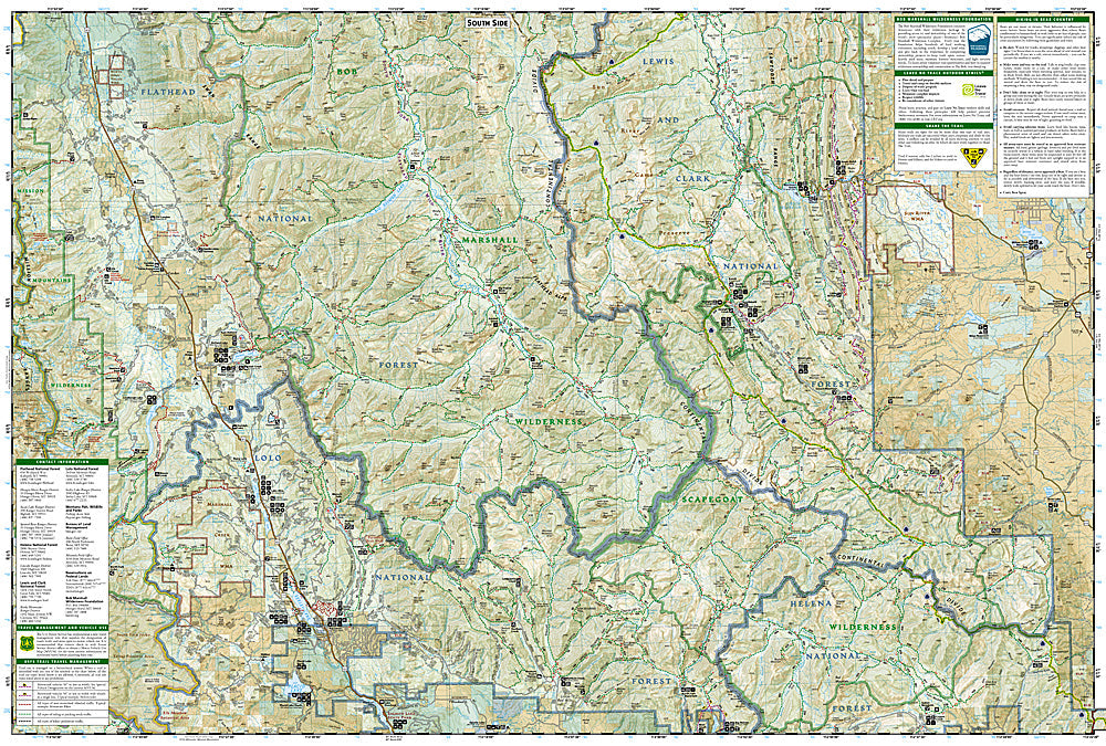
Explore the wonders of the Bob Marshall Wilderness Complex with National Geographics Bob Marshall Wilderness Trails Illustrated Map. This area includes four national forests and the Great Bear, Bob Marshall, and Scapegoat Wilderness Areas. Encompassing the highest concentration of grizzlies in the continental U.S., this region extends from Seeley Lake in the South to the northern tip of Hungry Horse Reservoir and spreads East to Glacier National Park, with all of Sun Valley on the West. This expertly researched and highly detailed map includes the Flathead and Swan Mountain Ranges, the "Chinese Wall" along the Continental Divide, the renowned Jewel Basin, and the Sun River Game Preserve. Also depicted are the South Fork and the southern section of the Middle Fork of the Flathead Wild River. This map will guide you through stunning wilderness with miles of mapped trails and clearly markedtrail-heads.
Every Trails Illustrated map is printed on "Backcountry Tough" waterproof, tear-resistant paper. A full UTM grid is printed on the map to aid with GPS navigation.
A portion of the proceeds from the purchase of a National Geographic map help support the Societys vital exploration, conservation, scientific research, and education programs.
Other features found on this map include: Augusta, Choteau Mountain, Condon, East Glacier Park, Essex, Flathead Alps, Flathead National Forest, Flathead Range, Four Horns Lake, Gibson Reservoir, Gilman, Holland Peak, Lewis and Clark Range, Marmot Mountain, McDonald Peak, Mission Range, Mount Baptiste, Mount Saint Nicholas, Ovando Mountain, Pentagon Mountain, Pinnacle, Pishkun National Wildlife Refuge, Placid Lake, Red Mountain, Sawtooth Range, Scarface Peak, Seeley Lake, Silvertip Mountain, Swan Lake, Swan Range, Willow Creek National Wildlife Refuge.
Key Features:
- Waterproof and tear-resistant
- Accurate topography/terrain with a clearly labeled road network
- Hundreds of points of interest, including the locations parks and nature reserves, protected lands, historical and cultural attractions
- Thousands of place names including towns and natural features; detailed place names index
- Important travel networks including airports, lighthouses, ferry routes and rail lines
- Updated regularly to ensure accuracy
TIP 1:For lower prices on our maps, check out our promotions (click the link above the picture). Here is the info: Purchase 2 - 3 maps and get 10% off, 4 or more willget you 15% off! This promo includes ALL of our maps. For example, purchase 2 Trails Illustrated maps, 1 Destination map, and 1 Adventure map (total of 4) and get15% off!! Just put everything in your shopping cart and you will see the savings!
TIP 2:We have a huge selection and great prices on our National Geographic maps!Clickhereto go to our store,click on the store category called Maps & Books,then browse our sub-categories, or use the Store search tool to find items quickly.
Requirements: None.
This listing is for:Bob Marshall Wilderness Map 725.
You will receive: 1National GeographicTrails IllustratedMap.
OEM packaging, shipped in a poly envelope. Shipping weight 4 oz.
If you have any questions or concerns, please contact us before or after the sale - we want you to be a happy customer!
Thanks for looking!
