
NA
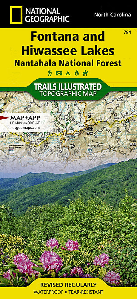
National Geographic Trails Illustrated NC Fontana and Hiwassee Trail Map TI00000784
National Geographic Trails Illustrated NC Fontana and Hiwassee Trail Map TI00000784
Couldn't load pickup availability
BRANDNEW National GeographicTrails Illustrated North Carolina Fontana and Hiwassee Trail Topo Map 784. Greatfor Camping, Fishing, Hunting,Hiking, Backpacking, Family Outings, Outdoor Adventure.
More than just a map, National Geographic Trails Illustrated topographic maps are designed to take you into the wilderness and back. Printed on tear-resistant, waterproof material, this map can go anywhere you do. Each map is based on exact reproductions of USGS topographic map information, updated, customized, and enhanced to meet the unique features of each area. The maps include valuable wilderness tips and Leave No Trace guidelines, along with updated trails, trailheads, points of interest, campgrounds, and much more. With a new color palette and stunning shaded relief, backcountry navigation has never been easier.
This listing is for theNorth Carolina Fontana and Hiwassee Trail Topo Map 784.
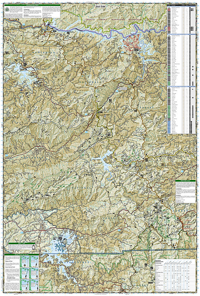
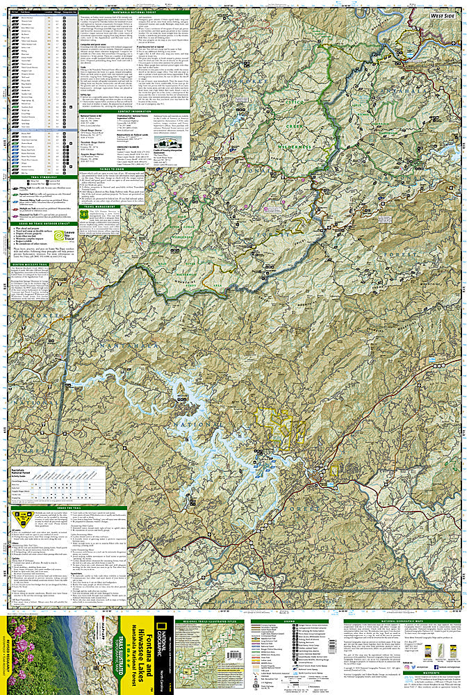
This Trails Illustrated topographic map is the most comprehensive recreational map for the Fontana & Hiwasse Lakes area of North Carolina. Coverage includes: Fontana & Hiwassee Lakes; Nantahala National Forest; Joyce Kilmer Slickrock, Citico Creek, and Southern Nantahala Wilderness Areas; Murphy, Andrews, and Bryson City; boating access points on Hiwassee, Santeetlah, Fontana, and Chatuge Lakes; Appalachian National Scenic Trail and Tsali Recreation Area.
Product Features:
- Approximately 4 1/4" x 9" folded; 25 1/2" x 37 3/4" fully opened
- Scale = 1:70,000
- Map revised - 2002
- Waterproof, tear-resistant
Requirements: None.
TIP: This item is also available in money-saving 2-packs and 3-packs! Go to our store, then browse our Discounted Multi-Packs Store category, or use the Store search tool to find items quickly.
You will receive: 1National GeographicTrails Illustrated Map.
Retailpackaging, shipped in a poly envelope. Shipping weight 4 oz.
If you have any questions or concerns, please contact us before or after the sale - we want you to be a happy customer!
Thanks for looking!