

National Geographic
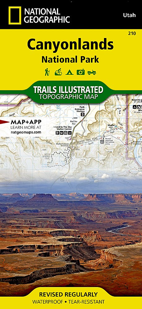
National Geographic Trails Illustrated Utah Canyonlands National Park Map TI00000210
National Geographic Trails Illustrated Utah Canyonlands National Park Map TI00000210
Couldn't load pickup availability
National GeographicTrails Illustrated Utah Canyonlands National Trail Map 210.
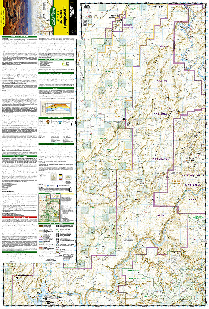
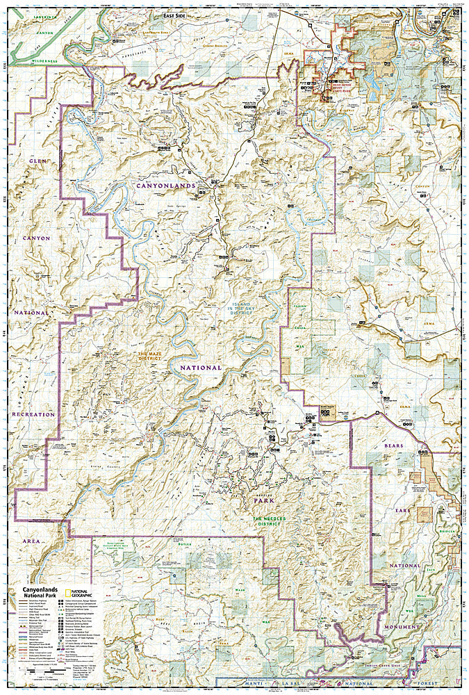
More than just a map, National Geographic Trails Illustrated topographic maps are designed to take you into the wilderness and back. Printed on tear-resistant, waterproof material, this map can go anywhere you do. Each map is based on exact reproductions of USGS topographic map information, updated, customized, and enhanced to meet the unique features of each area. The maps include valuable wilderness tips and Leave No Trace guidelines, along with updated trails, trailheads, points of interest, campgrounds, and much more. With a new color palette and stunning shaded relief, backcountry navigation has never been easier.
This map includes Canyonlands National Park, the Island in the Sky district, the Needles district, and the Maze district. The map also includes the Colorado River, the Green River, Indian Creek Wilderness, Bridger Jack Mesa Wilderness, Butler Wash Wilderness, Canyon Rims Recreation Area, and fascinating information about the park's archaeology. The map has been updated to reflect road closings, new trails, and campground relocation, and includes detailed trail information, points of interest, trailheads, picnic areas, facilities, and more. Includes UTM grids for use with your GPS
Features:
- Clearly marked trails for hiking, biking, horseback riding, ATV and more
- Detailed topography and clearly defined, color-codedboundariesof state parks, national recreation areas, wilderness areas, marine sanctuaries and wildlife refuges
- Hundreds of points of interest, including scenic viewpoints, campgrounds, boat launches and canoe carry downs, swimming areas, fishing access points and more
- UTM and Latitude/Longitude grid, as well as selected waypoints and scale bar for easy and accurate navigation
- Detailed road network
- Useful travel information on parks and key trails
- Approximately 4" x 9" folded; 27" x 39" fully opened
- Scale =1:70,000
- Waterproof, tear-resistant
Requirements: None.
TIP:For lower prices on our maps, check out our promotions (click the link above the picture). Here is the info: Purchase 2 - 3 maps and get 10% off, 4 or more willget you 15% off! This promo includes ALL of our maps. For example, purchase 2 Trails Illustrated maps, 1 Destination map, and 1 Adventure map (total of 4) and get15% off!! Just put everything in your shopping cart and you will see the savings!
You will receive: 1National GeographicTrails Illustrated Map.
Retailpackaging, shipped in a poly envelope. Shipping weight 4 oz.
If you have any questions or concerns, please contact us before or after the sale - we want you to be a happy customer!
Thanks for looking!