National Geographic
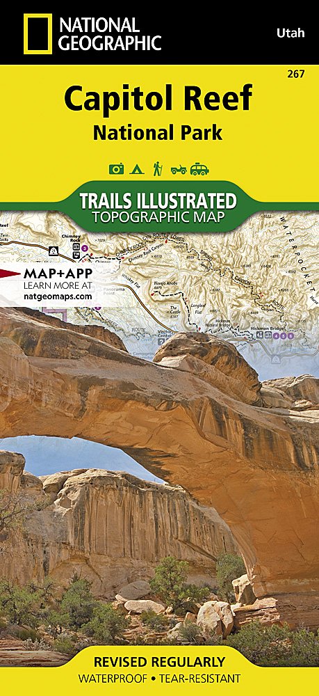
National Geographic Trails Illustrated Utah Capital Reef National Park Map TI00000267
National Geographic Trails Illustrated Utah Capital Reef National Park Map TI00000267
Couldn't load pickup availability
National GeographicTrails Illustrated Utah Capitol Reef National Park Trail Map 267. Greatfor Camping, Fishing, Hunting,Hiking, Backpacking, Family Outings, Outdoor Adventure.
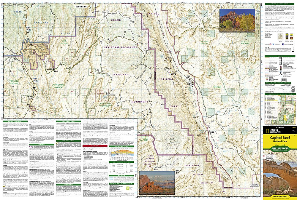
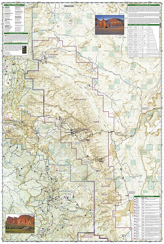
More than just a map, National Geographic Trails Illustrated topographic maps are designed to take you into the wilderness and back. Printed on tear-resistant, waterproof material, this map can go anywhere you do. Each map is based on exact reproductions of USGS topographic map information, updated, customized, and enhanced to meet the unique features of each area. The maps include valuable wilderness tips and Leave No Trace guidelines, along with updated trails, trailheads, points of interest, campgrounds, and much more. With a new color palette and stunning shaded relief, backcountry navigation has never been easier.
National Geographic's Trails Illustrated map of Utah's Capitol Reef National Park is a two-sided, waterproof map designed to meet the needs of outdoor enthusiasts with unmatched durability and detail. This map was created in conjunction with local land management agencies and is loaded with valuable recreation information. Trails Illustrated maps are expertly researched and frequently updated. The maps are printed in the United States on durable synthetic paper, making them waterproof, tear-resistant, and trail toughcapable of going anywhere you do.
Product Features:
- Clearly marked trails for hiking, biking, horseback riding, ATV and more
- Detailed topography and clearly defined, color-codedboundariesof state parks, national recreation areas, wilderness areas, marine sanctuaries and wildlife refuges
- Hundreds of points of interest, including scenic viewpoints, campgrounds, boat launches and canoe carry downs, swimming areas, fishing access points and more
- UTM and Latitude/Longitude grid, as well as selected waypoints and scale bar for easy and accurate navigation
- Detailed road network
- Useful travel information on parks and key trails
- Approximately 4" x 9" folded; 22" x 28" fully opened
- Scale =1:36,360
- Waterproof, tear-resistant
Requirements: None.
TIP:This item is also available in money-saving 2-packs and 3-packs! Go to our store, then browse our Discounted Multi-Packs Store category, or use the Store search tool to find items quickly.
You will receive: 1National GeographicTrails Illustrated Map.
Retailpackaging, shipped in a poly envelope. Shipping weight 4 oz.
If you have any questions or concerns, please contact us before or after the sale - we want you to be a happy customer!
Thanks for looking!