

NA
National Geographic Trails Illustrated VA/ WV Massanutten Trail Map TI00000792
National Geographic Trails Illustrated VA/ WV Massanutten Trail Map TI00000792
Couldn't load pickup availability
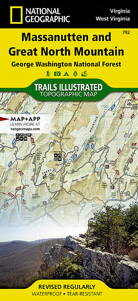
BRANDNEW National GeographicTrails IllustratedVirginia / West Virginia Massanutten & Great Northern Mountain Trail Map 792. Greatfor Camping, Fishing, Hunting,Hiking, Backpacking, Family Outings, Outdoor Adventure.
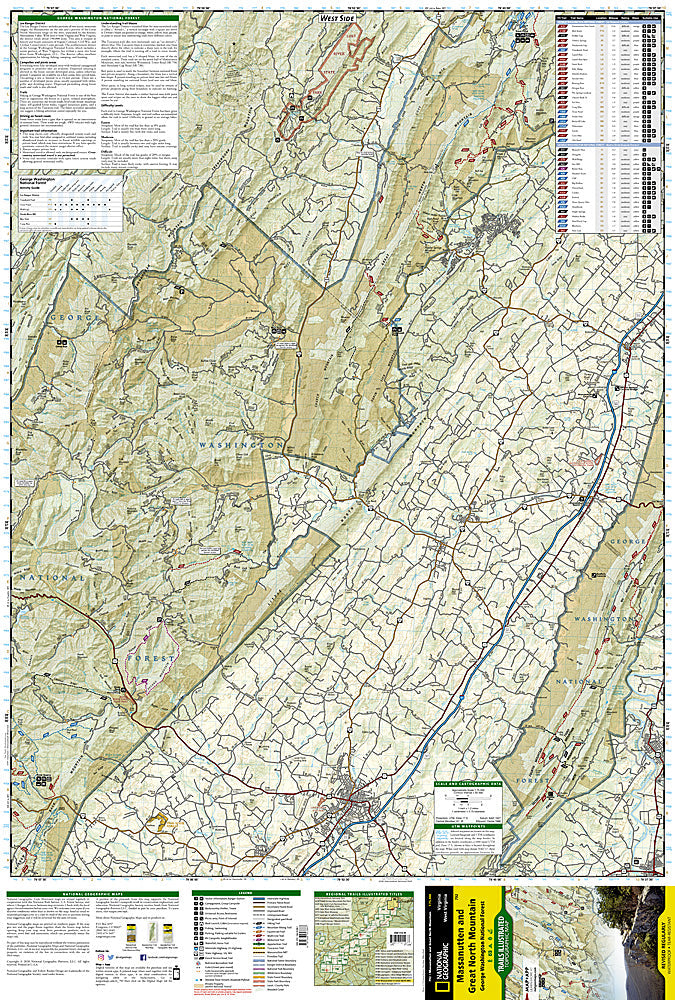
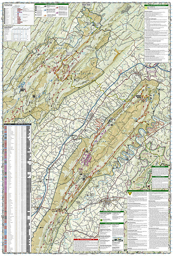
This Trails Illustrated topographic map is the most comprehensive recreational map for the Massanutten and Great North Mountain area of Virginia. Coverage includes George Washington National Forest; the towns of Harrisonburg, Lurah, and Strasburg; Massanutten Mountain and Tuscarora Trails; Shenandoah National Park, Raymond R. "Andy" Guest Jr. State Park, and Lost River State Park, West Virginia.
Product Features:
- Approximately 4 1/4" x 9" folded; 25 1/2" x 37 3/4" fully opened
- Scale = 1:75,000
- Waterproof, tear-resistant
Requirements: None.
TIP: This item is also available in money-saving 2-packs and 3-packs! Go to our store, then browse our Discounted Multi-Packs Store category, or use the Store search tool to find items quickly.
You will receive: 1National GeographicTrails Illustrated Map.
Retailpackaging, shipped in a poly envelope. Shipping weight 4 oz.
If you have any questions or concerns, please contact us before or after the sale - we want you to be a happy customer!
Thanks for looking!