NA
National Geographic Trails Illustrated VT Covington Alleghany Highlands Map TI00000788
National Geographic Trails Illustrated VT Covington Alleghany Highlands Map TI00000788
Couldn't load pickup availability
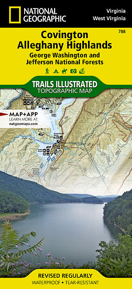
BRAND NEW National Geographic Trails Illustrated VTCovington / Alleghany Highlands Map 788. Greatfor Camping, Fishing, Hunting,Hiking, Backpacking, Family Outings, Outdoor Adventure.
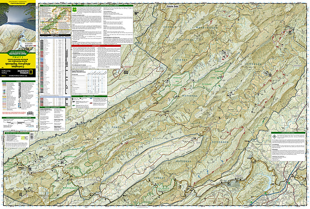
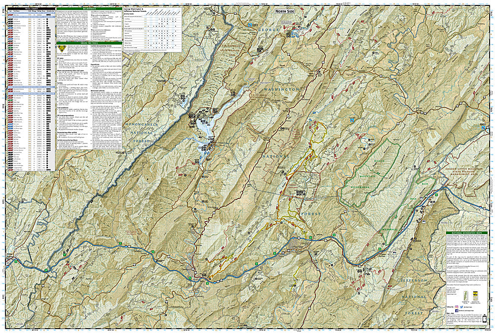
This Trails Illustrated topographic map is the most comprehensive recreational map for the Covington/Alleghany Highlands area of Virginia. Includes UTM tick marks for use with your GPS unit and a trail mileage matrix. Coverage includes: George Washington and Jefferson National Forests; Douthat State Park; Rough Mountain, Rich Hole, Barbours Creek, and Shawvers Run Wilderness Areas; Lake Moomaw recreation area; Appalachian National Scenic Trail; the towns of Covington, Clifton Forge, and New Castle.
This listing is forNational Geographic Trails Illustrated VTCovington / Alleghany Highlands Map 788.
Product Features:
- Approximately 4" x 7 1/2" folded; 18 3/4" x 25 1/2" fully opened
- Scale: 1:70,000 (1 = 1.1 miles)
Requirements: None.
TIP: This item is also available in money-saving 2-packs and 3-packs! Go to our store, then browse our Discounted Multi-Packs Store category, or use the Store search tool to find items quickly.
You will receive: 1National GeographicTrails Illustrated Map.
Retailpackaging, shipped in a poly envelope. Shipping weight 4 oz.
If you have any questions or concerns, please contact us before or after the sale - we want you to be a happy customer!
Thanks for looking!