
NA
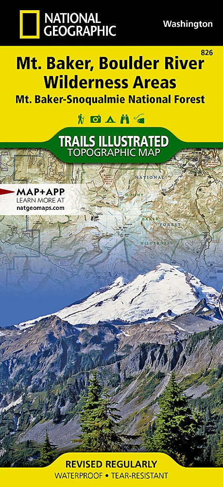
National Geographic Trails Illustrated WA Mount Baker / Boulder River Map TI00000826
National Geographic Trails Illustrated WA Mount Baker / Boulder River Map TI00000826
Couldn't load pickup availability
BRANDNEW National GeographicTrails Illustrated WashingtonMount Baker and Boulder River Wilderness Area Trail Map 826. Greatfor Camping, Fishing, Hunting,Hiking, Backpacking, Family Outings, Outdoor Adventure.
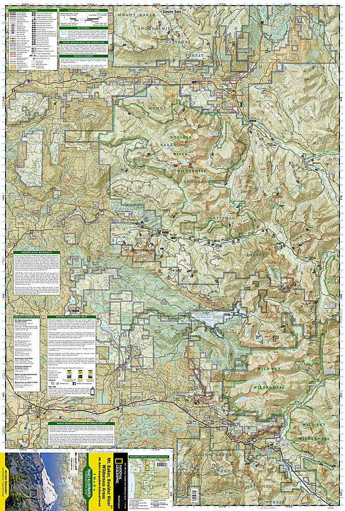
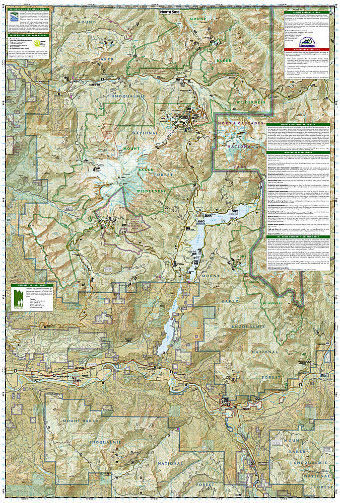
One of five Trails Illustrated maps for the Washington Cascades region offering the most detailed and up-to-date map for the forest, carefully researched and developed in co-operation with local land managers and agencies. Each map contains easy to read trails, numbered forest service roads, campsites, access points, scenic points-of-interests, and important facilities.
Three narrow spiresNorth, Middle, and South Peaksknown collectively as Three Fingers anchor the center of Boulder River Wilderness. Boulder River, the primary drainage, runs northwesterly from a north-south ridge that rises to a high point of 6,850 feet on South Peak.
Mountain climbers flood onto Mount Baker Wilderness Area in spring and summer before fall opens numerous large crevasses. Hundreds of climbers may be seen on the mountain in a single day. The Heliotrope Ridge Trail winds 2.7 miles to the Coleman Glacier, the most popular climbing route on the mountain. A well-developed and very busy trail system provides access to the lower country.
Coverage includes: Noisy Diobsud Wilderness Area, Mount Baker National Recreation Area, Skagit Wild and Scenic River, Mount Baker, Mountain Loop and North Cascades Scenic Byways.
Wilderness Coverage: Mount Baker, Boulder River, Noisy Diobsud.
Other Attractions: Mount Pilchuck & Wallace Falls State Parks, Baker & Spada Lakes, Lake Shannon, hiking trails, mountain biking, scenic back roads, boat ramps, mountain climbing, sno-parks, ski areas, fishing, snowmobile trails, cross-country skiing, waterfalls, day use areas, dispersed camping areas, picnic areas, campgrounds.
Product Features:
- Scale: 1:75,000 (1 Centimeter = .75 Kilometers; 1 inch = 1.18 Miles)
- Waterproof, tear-resistant
Requirements: None.
TIP: This item is also available in money-saving 2-packs and 3-packs! Go to our store, then browse our Discounted Multi-Packs Store category, or use the Store search tool to find items quickly.
You will receive: 1National GeographicTrails Illustrated Map.
Retailpackaging, shipped in a poly envelope. Shipping weight 4 oz.
If you have any questions or concerns, please contact us before or after the sale - we want you to be a happy customer!
Thanks for looking!